Villa Alsacia M10
Villa Alsacia M10 is a residential area in Kennedy, Bogotá D.C., Bogotá. Villa Alsacia M10 is situated nearby to the park Parque Alsacia, as well as near the community center Salon Comunal.| Tap on a place to explore it |
Places of Interest Nearby
Highlights include Estadio Metropolitano de Techo and Parque Mundo Aventura.
Estadio Metropolitano de Techo
Sports venue
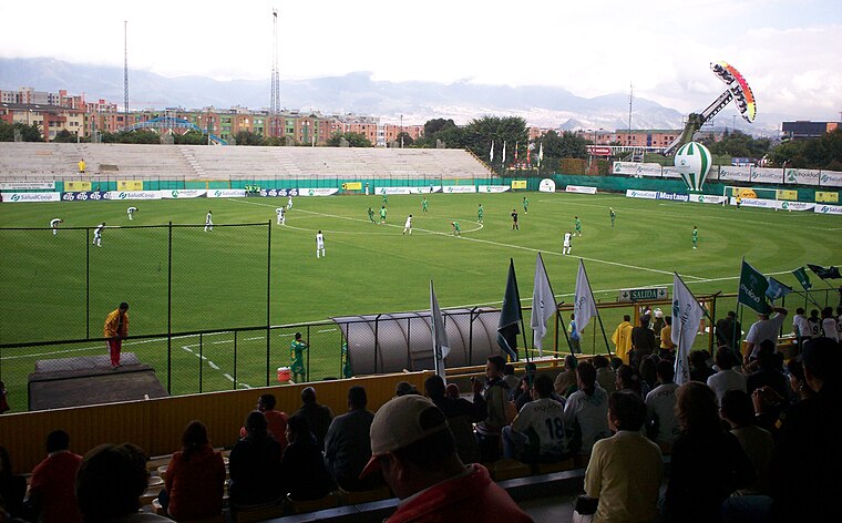
Photo: Josegacel29, CC BY-SA 3.0.
Estadio Metropolitano de Techo is a multi-use stadium in Bogotá, Colombia. It is currently used mostly for football matches and is the home stadium of La Equidad, Fortaleza C.E.I.F., Tigres F.C., and Bogotá F.C. The stadium holds 10,000 people. Estadio Metropolitano de Techo is situated 2 km south of Villa Alsacia M10.
Parque Mundo Aventura
Theme park
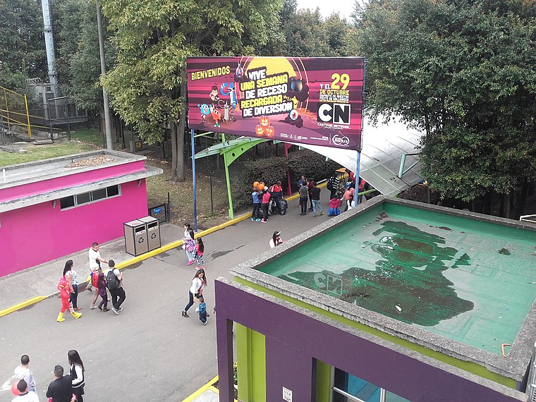
Photo: EEIM, CC BY-SA 3.0.
Parque Mundo Aventura is a theme park, which is situated 2 km south of Villa Alsacia M10.
La Modelo
Prison
La Modelo is a prison in Bogotá, Colombia. With 11,000 inmates, the facility is known for its violence. The prison's north wing accommodates left-wing rebels while the south wing has right-wing government supporters and paramilitaries. La Modelo is situated 3 km east of Villa Alsacia M10.
Places in the Area
Nearby places include Techo and West Bogotá.
Techo
Neighborhood
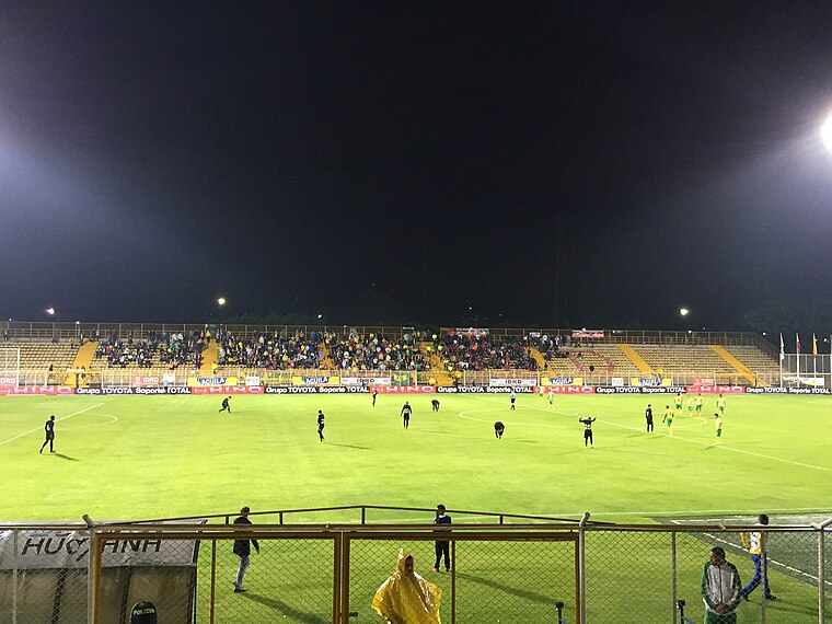
Photo: Scoelho86, CC BY-SA 4.0.
Techo is a neighbourhood of Bogotá, Colombia, part of the locality Kennedy. It contains a wetland of the same name, part of the Wetlands of Bogotá, Colombia. The wetland covers about 11 hectares.
West Bogotá

Photo: Pedro Felipe, CC BY-SA 3.0.
The west also sometimes referred to as South Western Bogota is a huge region of Bogota, comprising the localities of Engativa, Fontibon, and Kennedy.
Kennedy
Neighborhood

Photo: Pedro Felipe, CC BY-SA 3.0.
Kennedy, or Ciudad Kennedy, is the eighth locality of Bogotá, capital of Colombia. It is located in the southwest of the city and is the second most populous being home to 14% of the city's residents.
Villa Alsacia M10
- Type: Residential area
- Location: Kennedy, Bogotá D.C., Bogotá, Andino, Colombia, South America
- View on OpenStreetMap
Latitude
4.64178° or 4° 38′ 30″ northLongitude
-74.13492° or 74° 8′ 6″ westOpen location code
67P7JVR8+P2OpenStreetMap ID
way 1322004612OpenStreetMap feature
landuse=residential
This page is based on OpenStreetMap, Wikidata, and Wikimedia Commons.
We’d love your help improving our open data sources. Thank you for contributing.
Satellite Map
Discover Villa Alsacia M10 from above in high-definition satellite imagery.
Notable Places Nearby
Highlights include Parque Alsacia and Salon Comunal.
Nearby Places
Explore places such as Parques de Alsacia and Meridianos Pan y Cafe.
Bogotá: Must-Visit Destinations
Delve into La Candelaria, Zona Rosa, Santa Fé-Los Mártires, and Usaquén.
Curious Residential Areas to Discover
Uncover intriguing residential areas from every corner of the globe.
About Mapcarta. Data © OpenStreetMap contributors and available under the Open Database License". Text is available under the CC BY-SA 4.0 license, except for photos, directions, and the map. Photo: Wikimedia, CC BY-SA 3.0.