Freinetschool Keerpunt
Freinetschool Keerpunt is a school in Houthalen-Helchteren, Arrondissement of Maaseik, Flanders which is located on Saviostraat. Freinetschool Keerpunt is situated nearby to the sports venue Sporthal Berkenveld, as well as near the community center Zaal Berkenveld.| Tap on a place to explore it |
- Type: School
- Also known as: “Middelbare Freinetschool Keerpunt Vonk” and “Savioschool”
- Address: Saviostraat 37
Places of Interest Nearby
Highlights include Sint-Lambertuskerk and Genaderse Molen.
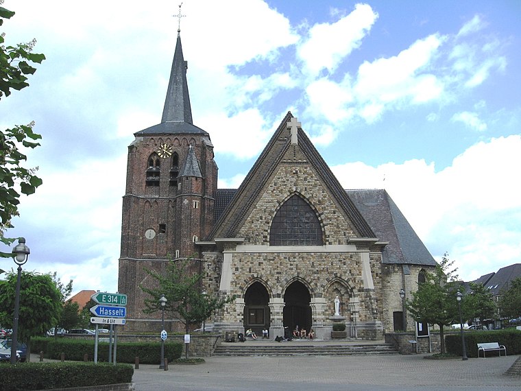
Sint-Lambertuskerk
Church

Photo: Paul Hermans, CC BY-SA 3.0.
Sint-Lambertuskerk is a church, which is situated 500 metres southwest of Freinetschool Keerpunt.
Genaderse Molen
Watermill

Photo: Sonuwe, CC BY-SA 3.0.
Genaderse Molen is a watermill, which is situated 1 km south of Freinetschool Keerpunt.
Coal Mine of Houthalen

Photo: Les Meloures, GFDL.
Coal Mine of Houthalen is situated 2 km west of Freinetschool Keerpunt.
Places in the Area
Nearby places include Houthalen and Helchteren.
Helchteren
Village
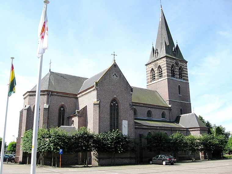
Photo: Sonuwe, CC BY-SA 3.0.
Helchteren is a village, which is situated 4 km north of Freinetschool Keerpunt.
Zonhoven
Town

Photo: Paul Hermans, CC BY-SA 3.0.
Zonhoven is a municipality located in the middle of the Belgian province of Limburg located north of Hasselt and also borders Houthalen-Helechteren, Genk and Heusden-Zolder. Zonhoven is situated 4½ km southwest of Freinetschool Keerpunt.
Freinetschool Keerpunt
- Category: education
- Location: Houthalen-Helchteren, Arrondissement of Maaseik, Limburg, Flanders, Belgium, Benelux, Europe
- View on OpenStreetMap
Latitude
51.02438° or 51° 1′ 28″ northLongitude
5.39958° or 5° 23′ 59″ eastOperator
Freinetscholen KeerpuntOpen location code
9F3729FX+QROpenStreetMap ID
way 1338669878OpenStreetMap feature
amenity=school
This page is based on OpenStreetMap, Wikidata, and Wikimedia Commons.
We’d love your help improving our open data sources. Thank you for contributing.
Satellite Map
Discover Freinetschool Keerpunt from above in high-definition satellite imagery.
Places with the Same Name
Discover other places named “Freinetschool Keerpunt”.
Notable Places Nearby
Highlights include Sporthal Berkenveld and Zaal Berkenveld.
Nearby Places
Explore places such as ‘t Sprankeltje and Sprankel methodeschool Jenaplan.
Limburg: Must-Visit Destinations
Delve into Sint-Truiden, Hasselt, Tongeren, and Genk.
Curious Schools to Discover
Uncover intriguing schools from every corner of the globe.
About Mapcarta. Data © OpenStreetMap contributors and available under the Open Database License". Text is available under the CC BY-SA 4.0 license, except for photos, directions, and the map. Photo: Paul Hermans, CC BY-SA 3.0.