Hanenbos
Hanenbos is a community center in Beersel, Arrondissement Halle-Vilvoorde, Flanders. Hanenbos is situated nearby to the spring Hanenborre, as well as near the peak Bruine Put.| Tap on a place to explore it |
Places of Interest Nearby
Highlights include Province domain Huizingen and Wauweringkapel.
Province domain Huizingen
Park

Photo: Wikimedia, CC BY-SA 3.0.
Province domain Huizingen is a park, which is situated 500 metres northwest of Hanenbos.
Wauweringkapel
Church
 Wauweringkapel is a church, which is situated 650 metres southwest of Hanenbos.
Sint-Rochuskapel
Church
 Sint-Rochuskapel is a church, which is situated 720 metres south of Hanenbos.
Places in the Area
Nearby places include Dworp and Huizingen.
Dworp
Village

Photo: Gor62, CC BY-SA 3.0.
Dworp is a small town in the municipality of Beersel, south of Brussels in Flanders. Dworp has an area of 9.61 square kilometers. As of January 1, 2002, it has a population of 5,277 inhabitants.

Lot
Village
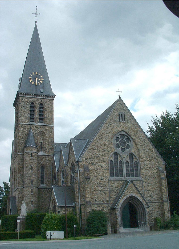
Photo: Napoleon Vier, CC BY-SA 3.0.
Lot is a village in the municipality of Beersel, Belgium. A formerly autonomous village, it was merged with the villages of Beersel, Alsemberg, Dworp, and Huizingen to create the Beersel municipality. Lot is situated 2½ km north of Hanenbos.
Hanenbos
- Email: info@hanenbos.be
- Type: Community center
- Location: Beersel, Arrondissement Halle-Vilvoorde, Flemish Brabant, Flanders, Belgium, Benelux, Europe
- View on OpenStreetMap
Latitude
50.74103° or 50° 44′ 28″ northLongitude
4.29263° or 4° 17′ 34″ eastOperator
Algemene Dienst voor JeugdtoerismeOpen location code
9F26P7RV+C3OpenStreetMap ID
way 1341934238OpenStreetMap feature
amenity=community_centre
This page is based on OpenStreetMap, Wikidata, and Wikimedia Commons.
We’d love your help improving our open data sources. Thank you for contributing.
Satellite Map
Discover Hanenbos from above in high-definition satellite imagery.
Notable Places Nearby
Highlights include Hanenborre and Bruine Put.
Nearby Places
Explore places such as De Kajotter and Duivelsbrug.
Flemish Brabant: Must-Visit Destinations
Delve into Leuven, Kraainem, Vilvoorde, and Aarschot.
Curious Community Centers to Discover
Uncover intriguing community centers from every corner of the globe.
About Mapcarta. Data © OpenStreetMap contributors and available under the Open Database License". Text is available under the CC BY-SA 4.0 license, except for photos, directions, and the map. Photo: Gf uip, CC BY-SA 3.0.