Epping Service Station
Epping Service Station is a building in North Weald Bassett, Epping Forest District, England. Epping Service Station is situated nearby to the recreation area Epping Upper Clapton Rugby Football Club, as well as near the house Esgors.| Tap on a place to explore it |
Places of Interest Nearby
Highlights include North Weald and North Weald railway station.
North Weald
Aerodrome

Photo: Christine Matthews, CC BY-SA 2.0.
North Weald Airfield is an operational general aviation aerodrome, in the civil parish of North Weald Bassett in Epping Forest, Essex, England. It was an important fighter station during the Battle of Britain, when it was known as the RAF Station RAF North Weald.
North Weald railway station
Railway station

Photo: Sunil060902, CC BY-SA 3.0.
North Weald railway station is on the Epping Ongar Railway, a heritage railway, located in North Weald, Essex. The station was opened in 1865 by the Great Eastern Railway, on its extension from Loughton to Ongar. North Weald railway station is situated 2 miles southeast of Epping Service Station.
St Margaret’s Hospital, Epping
Hospital

Photo: Lynda Poulter, CC BY-SA 2.0.
St Margaret's Hospital is a hospital in Epping, Essex. It is managed by the Princess Alexandra Hospital NHS Trust. St Margaret’s Hospital, Epping is situated 1½ miles south of Epping Service Station.
Places in the Area
Nearby places include Thornwood Common and Coopersale.
Thornwood Common
Village
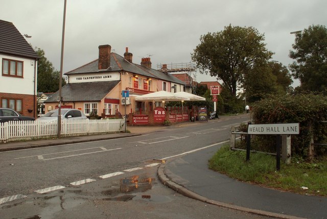
Photo: Robert Edwards, CC BY-SA 2.0.
Thornwood Common is a village on the B1393 road, in the civil parish of North Weald Bassett and the Epping Forest district of Essex, England. In 2018 it had an estimated population of 1016.
Coopersale
Village

Photo: Acabashi, CC BY-SA 4.0.
Coopersale, also termed Coopersale Common, is a village in the civil parish of Epping, within the Epping Forest District of Essex, England. In 2018 it had an estimated population of 1019.
Hastingwood
Village

Photo: Robert Edwards, CC BY-SA 2.0.
Hastingwood is a hamlet in the North Weald Bassett civil parish of the Epping Forest district of Essex, England. The hamlet is centred on the junction of Hastingwood Road, which runs southwest to the A414 road and the Hastingwood Junction 7 of the M11 motorway, and Mill Street, which runs north to Harlow Common and Potter Street. Hastingwood is situated 1½ miles northeast of Epping Service Station.
Epping Service Station
Latitude
51.72508° or 51° 43′ 30″ northLongitude
0.12581° or 0° 7′ 33″ eastOperator
ApplegreenOpen location code
9F32P4GG+28OpenStreetMap ID
way 1354657981OpenStreetMap feature
building=yes
This page is based on OpenStreetMap, Wikidata, and Wikimedia Commons.
We’d love your help improving our open data sources. Thank you for contributing.
Satellite Map
Discover Epping Service Station from above in high-definition satellite imagery.
Notable Places Nearby
Highlights include Epping Upper Clapton Rugby Football Club and Esgors.
Nearby Places
Explore places such as Upland Road and D. Evans & Sons.
Essex: Must-Visit Destinations
Delve into Colchester, Chelmsford, Southend-on-Sea, and Basildon.
Curious Buildings to Discover
Uncover intriguing buildings from every corner of the globe.
About Mapcarta. Data © OpenStreetMap contributors and available under the Open Database License". Text is available under the CC BY-SA 4.0 license, except for photos, directions, and the map. Photo: Wikimedia, CC0.