Inlight Yenişehir
Inlight Yenişehir is in Pendik, Istanbul. Inlight Yenişehir is situated nearby to the mosque Hafız İsmail Biçer Camii, as well as near Fatih Sultan Mehmet Cami.| Tap on a place to explore it |
Places of Interest Nearby
Highlights include Yayalar–Şeyhli and Aydos Hill.
Yayalar–Şeyhli
Metro station

Photo: Alikam1896, CC BY-SA 4.0.
Yayalar-Şeyhli is an underground rapid transit station on the M4 line of the Istanbul Metro. It is located on Ankara Street in the Yayalar neighborhood of Pendik. Yayalar–Şeyhli is situated 1¼ km east of Inlight Yenişehir.
Aydos Hill
Peak
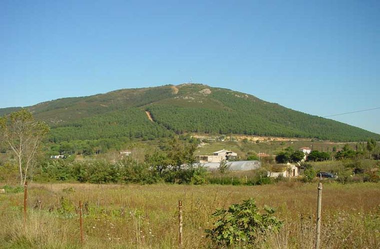
Photo: Cemyildiz, Public domain.
Aydos Hill is a hill in the north of Kartal district of Istanbul, Turkey. Its peak at 537 m above sea level is the highest point of Istanbul. The hill is surrounded by woods. Aydos Hill is situated 2½ km north of Inlight Yenişehir.
Fevzi Çakmak–Hastane
Metro station

Photo: Alikam1896, CC BY-SA 4.0.
Fevzi Çakmak-Hastane is an underground rapid transit station on the M4 line of the Istanbul Metro. It is located at the intersection of Mimar Sinan Street and Ankara Street in the Fevzi Çakmak neighborhood of Pendik. Fevzi Çakmak–Hastane is situated 2 km south of Inlight Yenişehir.
Places in the Area
Nearby places include Yakacık Çarşı and Pendik.
Yakacık Çarşı
Quarter
Yakacık Çarşı is a neighbourhood in the municipality and district of Kartal, Istanbul Province, Turkey. As of 2022, its population is 17,825. Yakacık Çarşı is situated 3½ km west of Inlight Yenişehir.
Pendik
Town

Photo: FurkanYalcin3, CC BY-SA 3.0.
Pendik is a municipality and district of Istanbul Province, Turkey. Its area is 190 km2, and its population is 750,435. It is on the Asian side between Kartal and Tuzla, on the Marmara Sea. Pendik is situated 4 km southwest of Inlight Yenişehir.
Sancaktepe
Town
Sancaktepe is a municipality and district of Istanbul Province, Turkey. Its area is 63 km2, and its population is 489,848. In 2008 the district Sancaktepe was created from parts of the districts Kartal and Ümraniye. Sancaktepe is situated 10 km north of Inlight Yenişehir.
Inlight Yenişehir
- Type: Construction
- Location: Pendik, Istanbul, Turkey, Middle East, Asia
- View on OpenStreetMap
Latitude
40.90806° or 40° 54′ 29″ northLongitude
29.26164° or 29° 15′ 42″ eastOpen location code
8GGFW756+6MOpenStreetMap ID
way 1388180417OpenStreetMap feature
landuse=construction
This page is based on OpenStreetMap, Wikidata, and Wikimedia Commons.
We’d love your help improving our open data sources. Thank you for contributing.
Satellite Map
Discover Inlight Yenişehir from above in high-definition satellite imagery.
Notable Places Nearby
Highlights include Hafız İsmail Biçer Camii and Fatih Sultan Mehmet Cami.
Nearby Places
Explore places such as Franco Vadi Evleri and Dumankaya Yenişehir Evleri.
Turkey: Must-Visit Destinations
Delve into Istanbul, Edirne, Ankara, and Izmir.
Curious Places to Discover
Uncover intriguing places from every corner of the globe.
About Mapcarta. Data © OpenStreetMap contributors and available under the Open Database License". Text is available under the CC BY-SA 4.0 license, except for photos, directions, and the map. Photo: Moonik, CC BY-SA 3.0.