Atterraggio Volo Libero
Atterraggio Volo Libero is a pitch in Brescia, Lombardian Alps and Prealps, Lombardy. Atterraggio Volo Libero is situated nearby to Cemetery of San Francesco di Paola, as well as near Lions Basket Brescia.| Tap on a place to explore it |
Places of Interest Nearby
Highlights include Museo Mille Miglia and San Polo.
Museo Mille Miglia
Museum

Photo: LarryStevens, CC0.
The Museo Mille Miglia is an automobile museum founded on 10 November 2004 at the initiative of the Automobile Club of Brescia and of some private enthusiasts of the famous Mille Miglia race. Museo Mille Miglia is situated 800 metres east of Atterraggio Volo Libero.
San Polo
Metro station

Photo: Moliva, CC BY-SA 4.0.
San Polo is a station of the Brescia Metro, in the city of Brescia in northern Italy. The station is centrally located in the populous district of San Polo. San Polo is situated 1 km south of Atterraggio Volo Libero.
San Francesco da Paola
Church

Photo: Moroder, CC BY-SA 3.0.
San Francesco da Paola is a church, which is situated 1 km northwest of Atterraggio Volo Libero.
Places in the Area
Nearby places include Sanpolino and Sant’Eufemia della Fonte.

Sant’Eufemia della Fonte
Village

Photo: Moroder, CC BY-SA 3.0.
Sant’Eufemia della Fonte is a village.
Gerole
Hamlet
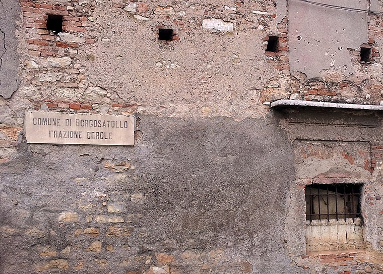
Photo: Julian Hallon, CC BY-SA 3.0.
Gerole is a hamlet, which is situated 3 km south of Atterraggio Volo Libero.
Atterraggio Volo Libero
- Type: Pitch
- Categories: recreation area, air sports, and sports location
- Location: Brescia, Province of Brescia, Lombardian Alps and Prealps, Lombardy, Northwest Italy, Italy, Europe
- View on OpenStreetMap
Latitude
45.52565° or 45° 31′ 32″ northLongitude
10.25692° or 10° 15′ 25″ eastOpen location code
8FQGG7G4+7QOpenStreetMap ID
way 1417351058OpenStreetMap feature
leisure=pitchOpenStreetMap feature
sport=free_flying
This page is based on OpenStreetMap, Wikidata, and Wikimedia Commons.
We’d love your help improving our open data sources. Thank you for contributing.
Satellite Map
Discover Atterraggio Volo Libero from above in high-definition satellite imagery.
Places with the Same Name
Discover other places named “Atterraggio Volo Libero”.
Notable Places Nearby
Highlights include Cemetery of San Francesco di Paola and Atterraggio Volo Libero.
Nearby Places
Explore places such as Borgo Pietro Wührer and AISM - Associazione Italiana Sclerosi Multipla - Sezione provinciale di Brescia.
Lombardian Alps and Prealps: Must-Visit Destinations
Delve into Bergamo, Sondrio, Bormio, and Livigno.
Curious Pitches to Discover
Uncover intriguing pitches from every corner of the globe.
About Mapcarta. Data © OpenStreetMap contributors and available under the Open Database License". Text is available under the CC BY-SA 4.0 license, except for photos, directions, and the map. Photo: Moroder, CC BY-SA 3.0.