U-Bahn Gleichrichterwerk Wedding
U-Bahn Gleichrichterwerk Wedding is an electrical substation in Berlin, Berlin. U-Bahn Gleichrichterwerk Wedding is situated nearby to the church Dankes-Kirche, as well as near Syrisch-Orthodoxe Kirche von Antiochien St. Izozoel.| Tap on a place to explore it |
Places of Interest Nearby
Highlights include Berlin Wall and Dankes-Kirche.
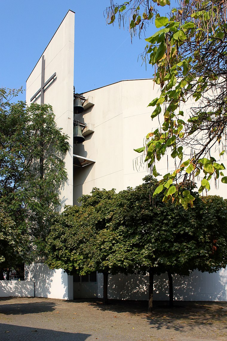
Berlin Wall

Photo: fauxaddress, CC BY-SA 2.0.
The Berlin Wall, officially the Anti-Fascist Protection Rampart, was a guarded concrete barrier that encircled West Berlin from 1961 to 1989, separating it from East Berlin and the German Democratic Republic. Berlin Wall is situated 1½ km southeast of U-Bahn Gleichrichterwerk Wedding.
Berlin-Wedding station
Railway station

Photo: IngolfBLN, CC BY-SA 2.0.
Berlin-Wedding is a station in the Wedding locality of Berlin and serves the S-Bahn lines S41 and S42 and the U-Bahn line U6. Berlin-Wedding station is situated 240 metres northwest of U-Bahn Gleichrichterwerk Wedding.
Places in the Area
Nearby places include Europacity and Wedding.

Wedding
Suburb

Photo: A.Savin, CC BY-SA 3.0.
Wedding is a locality in the borough of Mitte, Berlin, Germany. It was a separate borough in the north-western inner city until it was fused with Tiergarten and Mitte in Berlin's 2001 administrative reform.
Heinrich-Zille-Siedlung
Neighborhood

Photo: Gunnar Klack, CC BY-SA 4.0.
Heinrich-Zille-Siedlung is a neighborhood.
U-Bahn Gleichrichterwerk Wedding
- Type: Electrical substation
- Category: industry
- Location: Berlin, Berlin, Stadt, Berlin, Germany, Central Europe, Europe
- View on OpenStreetMap
Latitude
52.54111° or 52° 32′ 28″ northLongitude
13.36912° or 13° 22′ 9″ eastOperator
Berliner VerkehrsbetriebeOpen location code
9F4MG9R9+CJOpenStreetMap ID
way 1421799640
This page is based on OpenStreetMap, Wikidata, and Wikimedia Commons.
We’d love your help improving our open data sources. Thank you for contributing.
Satellite Map
Discover U-Bahn Gleichrichterwerk Wedding from above in high-definition satellite imagery.
Notable Places Nearby
Highlights include Syrisch-Orthodoxe Kirche von Antiochien St. Izozoel and Weddingplatz.
Nearby Places
Explore places such as U Reinickendorfer Straße and Uncle Bien.
Berlin: Must-Visit Destinations
Delve into Mitte, East Central, City West, and East Berlin.
Curious Electrical Substations to Discover
Uncover intriguing electrical substations from every corner of the globe.
About Mapcarta. Data © OpenStreetMap contributors and available under the Open Database License". Text is available under the CC BY-SA 4.0 license, except for photos, directions, and the map. Photo: Berthold Werner, CC BY-SA 3.0.