Lienzo Charro Rancho San José
Lienzo Charro Rancho San José is a recreation area in Iztapalapa, Mexico City. Lienzo Charro Rancho San José is situated nearby to the park Parque ‘Jorge Pulman’, as well as near the church Parroquia ‘Cristo Rey’.| Tap on a place to explore it |
Places of Interest Nearby
Highlights include Cerro de la Estrella and San Andrés Tomatlán metro station.

San Andrés Tomatlán metro station
Metro station
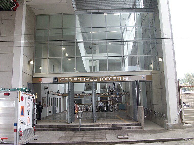
Photo: GAED, CC BY-SA 3.0.
San Andrés Tomatlán is a station on Line 12 of the Mexico City Metro. The station is located between Culhuacán and Lomas Estrella. It was opened on 30 October 2012 as a part of the first stretch of Line 12 between Mixcoac and Tláhuac. San Andrés Tomatlán metro station is situated 1 km southwest of Lienzo Charro Rancho San José.
Places in the Area
Nearby places include Pueblo Culhuacán and Colonia de La Candelaria.
Pueblo Culhuacán
Quarter

Photo: Thelmadatter, CC BY-SA 3.0.
Pueblo Culhuacán is an officially designated neighborhood of the Iztapalapa borough of Mexico City, which used to be a major pre-Hispanic city. Ancient Culhuacán was founded around 600 CE and the site has been continuously occupied since.
Colonia de La Candelaria
Quarter

Photo: Betoqa, CC BY-SA 3.0.
Colonia de La Candelaria is a quarter, which is situated 5 km west of Lienzo Charro Rancho San José.
Churubusco
Quarter

Photo: Adolphe Jean-Baptiste Bayot, Public domain.
Churubusco is a neighbourhood of Mexico City. Under the current territorial division of the Mexican Federal District, it is a part of the borough of Coyoacán. Churubusco is situated 6 km northwest of Lienzo Charro Rancho San José.
Lienzo Charro Rancho San José
- Type: Equestrianism
- Categories: recreation area and sports location
- Location: Iztapalapa, Mexico City, Central Mexico, Mexico, North America
- View on OpenStreetMap
Latitude
19.33468° or 19° 20′ 5″ northLongitude
-99.09861° or 99° 5′ 55″ westOpen location code
76F28WM2+VHOpenStreetMap ID
way 1427203057OpenStreetMap feature
leisure=horse_riding
This page is based on OpenStreetMap, Wikidata, and Wikimedia Commons.
We’d love your help improving our open data sources. Thank you for contributing.
Satellite Map
Discover Lienzo Charro Rancho San José from above in high-definition satellite imagery.
Notable Places Nearby
Highlights include Parque ‘Jorge Pulman’ and Parroquia ‘Cristo Rey’.
Nearby Places
Explore places such as Terreno and Juegos del pilar.
Mexico City: Must-Visit Destinations
Delve into Centro, Xochimilco, Coyoacán, and Condesa and Roma.
Curious Places to Discover
Uncover intriguing places from every corner of the globe.
About Mapcarta. Data © OpenStreetMap contributors and available under the Open Database License". Text is available under the CC BY-SA 4.0 license, except for photos, directions, and the map. Photo: Pancho Cárdenas, CC BY-SA 3.0.