Cappella Madonna dell’Alto Cielo o Ara Coeli
Cappella Madonna dell’Alto Cielo o Ara Coeli is a church in Saracena, Province of Cosenza, Calabria. Cappella Madonna dell’Alto Cielo o Ara Coeli is situated nearby to the church Cappella di San Pietro, as well as near the square Piazza Mazziotti.| Tap on a place to explore it |
Places in the Area
Nearby places include Saracena and San Basile.
Saracena
Village

Photo: Enzuccio, CC BY-SA 4.0.
Saracena is a town and comune in the province of Cosenza in the Calabria region of southern Italy. The town is bordered by Altomonte, Castrovillari, Firmo, Lungro, Morano Calabro, Mormanno, Orsomarso and San Basile and is home to the Church of San Leone, a 12th-century Byzantine church.
San Basile
Village
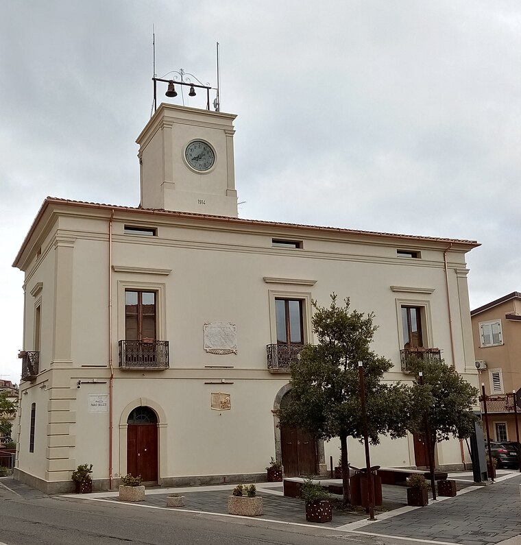
Photo: Asia, CC BY-SA 4.0.
San Basile is a town and comune in the province of Cosenza in the Calabria region of southern Italy. Both Italian and Arbëresh are spoken in the town. San Basile is situated 4 km north of Cappella Madonna dell’Alto Cielo o Ara Coeli.
Lungro
Village

Photo: Pear Blossom, CC BY-SA 3.0.
Lungro is a town and comune in the Province of Cosenza in the Calabria region of Italy. Lungro is one of the most prominent centers of the Arbëreshë people and the seat of the Eparchy of Lungro. Lungro is situated 4½ km southwest of Cappella Madonna dell’Alto Cielo o Ara Coeli.
Cappella Madonna dell’Alto Cielo o Ara Coeli
- Type: Church
- Denomination: Catholic
- Categories: building, chapel, place of worship, and religion
- Location: Saracena, Province of Cosenza, Calabria, Southern Italy, Italy, Europe
- View on OpenStreetMap
Latitude
39.77423° or 39° 46′ 27″ northLongitude
16.15574° or 16° 9′ 21″ eastOpen location code
8FFRQ5F4+M7OpenStreetMap ID
way 1451822471OpenStreetMap feature
amenity=place_of_worshipOpenStreetMap feature
building=chapelOpenStreetMap attribute
denomination=catholic
This page is based on OpenStreetMap, Wikidata, and Wikimedia Commons.
We’d love your help improving our open data sources. Thank you for contributing.
Satellite Map
Discover Cappella Madonna dell’Alto Cielo o Ara Coeli from above in high-definition satellite imagery.
Notable Places Nearby
Highlights include Cappella di San Pietro and Piazza Mazziotti.
Nearby Places
Explore places such as Ristprante Kripta and Farmacia Dottor Perrone.
Calabria: Must-Visit Destinations
Delve into Reggio Calabria, Catanzaro, Cosenza, and Crotone.
Curious Churches to Discover
Uncover intriguing churches from every corner of the globe.
About Mapcarta. Data © OpenStreetMap contributors and available under the Open Database License". Text is available under the CC BY-SA 4.0 license, except for photos, directions, and the map. Photo: Drikyz, CC BY-SA 3.0.