I Pianas
I Pianas is a campsite in Coazze, Province of Turin, Piedmont and has an elevation of 1,000 metres. I Pianas is situated nearby to the church Santuario Grotta Nostra Signora di Lourdes, as well as near Ascensione del Signore.| Tap on a place to explore it |
Places of Interest Nearby
Highlights include Punta dell’Aquila and Monte Cugno dell’Alpet.
Punta dell’Aquila
Peak

Photo: F Ceragioli, CC BY-SA 3.0.
Punta dell’Aquila is a peak, which is situated 3 km south of I Pianas.
Monte Cugno dell’Alpet
Peak

Photo: F Ceragioli, CC BY-SA 3.0.
Monte Cugno dell’Alpet is a peak, which is situated 3 km south of I Pianas.
Madonna della Pace
Church

Photo: Elio Pallard, CC BY-SA 4.0.
Madonna della Pace is a church, which is situated 3 km south of I Pianas.
Places in the Area
Nearby places include Cresto and Roure.
Cresto
Hamlet

Photo: Mastrocom, CC BY-SA 3.0.
Cresto is a hamlet, which is situated 8 km north of I Pianas.
Roure
Village
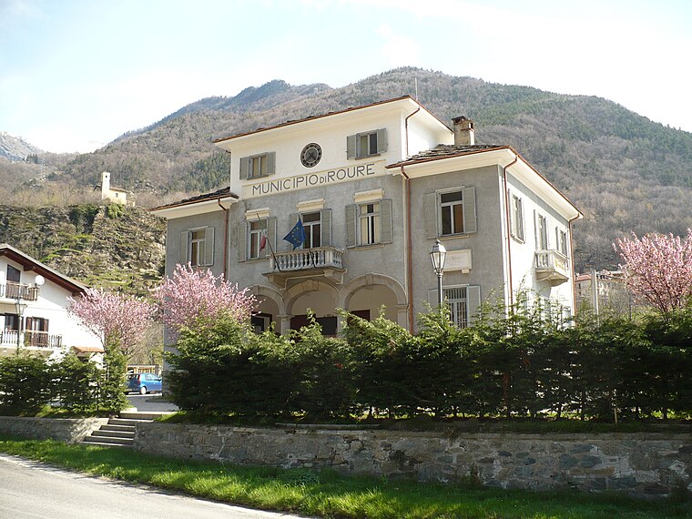
Photo: Francofranco56, Public domain.
Roure is a comune in the Metropolitan City of Turin in the Italian region of Piedmont, located about 45 kilometres west of Turin in the Val Chisone. Roure borders the following municipalities: Bussoleno, San Giorio di Susa, Mattie, Coazze, Fenestrelle, Perosa Argentina, Massello, and Perrero. Roure is situated 9 km west of I Pianas.
Giaveno
Town

Photo: Iron Bishop, CC BY-SA 3.0.
Giaveno is a comune in the Metropolitan City of Turin in the Italian region Piedmont, located about 30 kilometres west of Turin. Giaveno is situated 9 km east of I Pianas.
I Pianas
- Type: Campsite
- Categories: tourism and camping
- Location: Coazze, Province of Turin, Piedmont, Northwest Italy, Italy, Europe
- View on OpenStreetMap
Latitude
45.03075° or 45° 1′ 51″ northLongitude
7.23727° or 7° 14′ 14″ eastElevation
1,000 metres (3,281 feet)Open location code
8FQ926JP+7WOpenStreetMap ID
way 1460705738OpenStreetMap feature
tourism=camp_site
This page is based on OpenStreetMap, Wikidata, and Wikimedia Commons.
We’d love your help improving our open data sources. Thank you for contributing.
Satellite Map
Discover I Pianas from above in high-definition satellite imagery.
Notable Places Nearby
Highlights include Santuario Grotta Nostra Signora di Lourdes and Ascensione del Signore.
Nearby Places
Explore places such as Ristorante and Case Prablin.
Piedmont: Must-Visit Destinations
Delve into Turin, Novara, Asti, and Alessandria.
Curious Campsites to Discover
Uncover intriguing campsites from every corner of the globe.
About Mapcarta. Data © OpenStreetMap contributors and available under the Open Database License". Text is available under the CC BY-SA 4.0 license, except for photos, directions, and the map. Photo: Toma15996, CC BY-SA 4.0.