Freibad Tönning
Freibad Tönning is a swimming pool in Tönning, Kreis Nordfriesland, Schleswig-Holstein. Freibad Tönning is situated nearby to the motorhome stopover Wohnmobilstellplatz ‘Eiderblick’, as well as near the public building Jugend-und Freizeitzentrum Tönning.| Tap on a place to explore it |
Places of Interest Nearby
Highlights include Tönning station and Am Eiderdeich 18.
Tönning station
Railway station
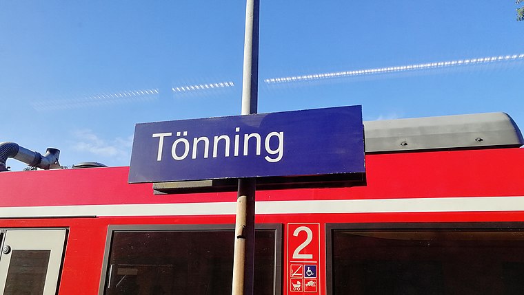
Photo: Clic, CC BY-SA 4.0.
Tönning station is a railway station in the municipality of Tönning, located in the Nordfriesland district in Schleswig-Holstein, Germany. Tönning station is situated 610 metres north of Freibad Tönning.
Am Eiderdeich 18
Museum

Photo: Holger.Ellgaard, CC BY 3.0.
Am Eiderdeich 18 is a museum, which is situated 1 km northeast of Freibad Tönning.
Am Hafen 30
Historic building

Photo: Peterhansen, CC BY-SA 4.0.
Am Hafen 30 is a historic building, which is situated 1¼ km northeast of Freibad Tönning.
Freibad Tönning
- Type: Swimming pool
- Categories: swimming, recreation area, and sports location
- Location: Tönning, Kreis Nordfriesland, North Sea Coast, Schleswig-Holstein, Germany, Central Europe, Europe
- View on OpenStreetMap
Latitude
54.30865° or 54° 18′ 31″ northLongitude
8.93527° or 8° 56′ 7″ eastOpen location code
9F6C8W5P+F4OpenStreetMap ID
way 168897521OpenStreetMap feature
leisure=swimming_poolOpenStreetMap feature
sport=swimming
This page is based on OpenStreetMap, Wikidata, and Wikimedia Commons.
We’d love your help improving our open data sources. Thank you for contributing.
Satellite Map
Discover Freibad Tönning from above in high-definition satellite imagery.
Notable Places Nearby
Highlights include Freibad Tönning and Wohnmobilstellplatz ‘Eiderblick’.
Nearby Places
Explore places such as Poseidon and Kasse/Eingang.
North Sea Coast: Must-Visit Destinations
Delve into Heligoland, Sylt, Husum, and Heide.
Curious Swimming Pools to Discover
Uncover intriguing swimming pools from every corner of the globe.
About Mapcarta. Data © OpenStreetMap contributors and available under the Open Database License". Text is available under the CC BY-SA 4.0 license, except for photos, directions, and the map. Photo: cisko66, CC BY 3.0.