Jugend-und Freizeitzentrum Tönning
Jugend-und Freizeitzentrum Tönning is a public building in Tönning, Kreis Nordfriesland, Schleswig-Holstein. Jugend-und Freizeitzentrum Tönning is situated nearby to the motorhome stopover Wohnmobilstellplatz ‘Eiderblick’, as well as near the health club EgoldsGym23.| Tap on a place to explore it |
Places of Interest Nearby
Highlights include Tönning station and Am Eiderdeich 18.
Tönning station
Railway station
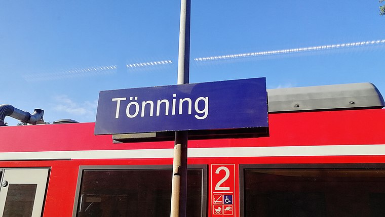
Photo: Clic, CC BY-SA 4.0.
Tönning station is a railway station in the municipality of Tönning, located in the Nordfriesland district in Schleswig-Holstein, Germany. Tönning station is situated 450 metres north of Jugend-und Freizeitzentrum Tönning.
Am Eiderdeich 18
Museum

Photo: Holger.Ellgaard, CC BY 3.0.
Am Eiderdeich 18 is a museum, which is situated 1 km northeast of Jugend-und Freizeitzentrum Tönning.
Am Hafen 30
Historic building

Photo: Peterhansen, CC BY-SA 4.0.
Am Hafen 30 is a historic building, which is situated 1 km northeast of Jugend-und Freizeitzentrum Tönning.
Jugend-und Freizeitzentrum Tönning
- Type: Public building
- Categories: building and government building
- Location: Tönning, Kreis Nordfriesland, North Sea Coast, Schleswig-Holstein, Germany, Central Europe, Europe
- View on OpenStreetMap
Latitude
54.30984° or 54° 18′ 35″ northLongitude
8.93739° or 8° 56′ 15″ eastOpen location code
9F6C8W5P+WXOpenStreetMap ID
way 169751194OpenStreetMap feature
building=civic
This page is based on OpenStreetMap, Wikidata, and Wikimedia Commons.
We’d love your help improving our open data sources. Thank you for contributing.
Satellite Map
Discover Jugend-und Freizeitzentrum Tönning from above in high-definition satellite imagery.
Notable Places Nearby
Highlights include Wohnmobilstellplatz ‘Eiderblick’ and EgoldsGym23.
Nearby Places
Explore places such as DLRG and Rezeption.
North Sea Coast: Must-Visit Destinations
Delve into Heligoland, Sylt, Husum, and Heide.
Curious Public Buildings to Discover
Uncover intriguing public buildings from every corner of the globe.
About Mapcarta. Data © OpenStreetMap contributors and available under the Open Database License". Text is available under the CC BY-SA 4.0 license, except for photos, directions, and the map. Photo: cisko66, CC BY 3.0.