Beehives with bushes around
Beehives with bushes around is in Mickleham, Mole Valley, England. Beehives with bushes around is situated nearby to the building The Beehive, as well as near Stepping Stones.| Tap on a place to explore it |
Places of Interest Nearby
Highlights include The Beehive and Dorking railway station.

Dorking railway station
Railway station
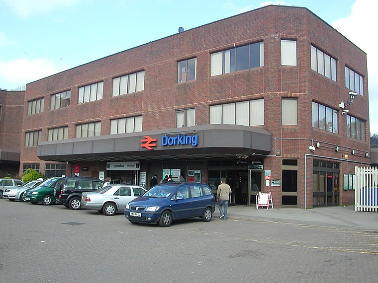
Photo: Hassocks5489, Public domain.
Dorking railway station is a railway station in Dorking, Surrey, England. Located on the Mole Valley line, it is 22 miles 8 chains down the line from London Waterloo. Dorking railway station is situated 2,200 feet south of Beehives with bushes around.
Box Hill & Westhumble
Railway station

Photo: AndyScott, CC BY-SA 4.0.
Box Hill & Westhumble is a railway station in the village of Westhumble in Surrey, England, approximately 2 miles north of Dorking town centre. Box Hill is located approximately 1⁄2 mile to the east. Box Hill & Westhumble is situated 2,600 feet north of Beehives with bushes around.
Places in the Area
Nearby places include Pixham and Westhumble.
Pixham
Village

Photo: Colin Smith, CC BY-SA 2.0.
Pixham is a chapelry within the parish of Dorking, Surrey on the near side of the confluence of the River Mole and the Pipp Brook to its town, Dorking, which is centred 1 km southwest.
Westhumble
Village

Photo: Colin Smith, CC BY-SA 2.0.
Westhumble is a village in south east England, approximately 2 km north of Dorking, Surrey. The village is not part of a civil parish, however the majority of the settlement is in the ecclesiastical Parish of Mickleham.
Box Hill
Locality

Photo: Ian Capper, CC BY-SA 2.0.
Box Hill is a summit of the North Downs in Surrey, approximately 31 km south-west of London. It is named after the ancient box woodland found on the steepest west-facing chalk slopes overlooking the River Mole.
Beehives with bushes around
- Type: Shrubland
- Location: Mickleham, Mole Valley, Surrey, South East England, England, United Kingdom, Britain and Ireland, Europe
- View on OpenStreetMap
Latitude
51.24719° or 51° 14′ 50″ northLongitude
-0.32504° or 0° 19′ 30″ westOpen location code
9C3X6MWF+VXOpenStreetMap ID
way 186641719OpenStreetMap feature
natural=scrub
This page is based on OpenStreetMap, Wikidata, and Wikimedia Commons.
We’d love your help improving our open data sources. Thank you for contributing.
Satellite Map
Discover Beehives with bushes around from above in high-definition satellite imagery.
Notable Places Nearby
Highlights include Stepping Stones and Dorking Wanderers Football Club.
Nearby Places
Explore places such as Dornfelder and Boxlands Lodge.
Surrey: Must-Visit Destinations
Delve into Guildford, Woking, Godalming, and Epsom.
Curious Places to Discover
Uncover intriguing places from every corner of the globe.
About Mapcarta. Data © OpenStreetMap contributors and available under the Open Database License". Text is available under the CC BY-SA 4.0 license, except for photos, directions, and the map. Photo: Wikimedia, CC0.