Subestación Siero
Subestación Siero is an electrical substation in Siero, Asturias. Subestación Siero is situated nearby to the house Palace of Meres, as well as near the church Capilla de Sana Ana.| Tap on a place to explore it |
Places of Interest Nearby
Highlights include Palace of Meres and Meres railway station.
Palace of Meres
House

Photo: Alejandro, CC BY-SA 2.0.
Palace of Meres is a house, which is situated 440 metres east of Subestación Siero.
Meres railway station
Railway stop

Photo: LMLM, CC BY-SA 4.0.
Meres railway station is a railway stop, which is situated 720 metres east of Subestación Siero.
Colloto railway station
Railway station
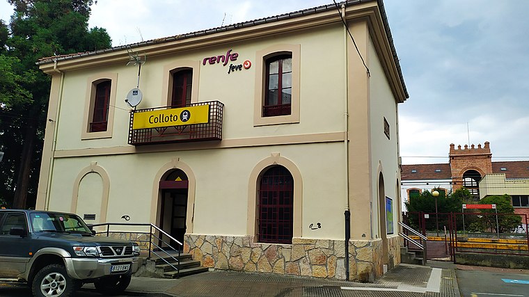
Photo: Rubfergar, CC BY-SA 4.0.
Colloto railway station is situated 3 km west of Subestación Siero.
Places in the Area
Nearby places include Tiñana and Colloto.
Tiñana
Hamlet
Tiñana is a parish in Siero, a municipality within the province and autonomous community of Asturias, in northern Spain. It has a surface area of 6.89 km2 and, as of 2023, a population of 1,018.
Colloto
Suburb
Colloto is a place in the municipalities of Oviedo and Siero, Asturias, Spain. It is 5 kilometres from the city of Oviedo. Colloto is situated 3½ km west of Subestación Siero.
Noreña Municipality
Village

Photo: Wikimedia, CC BY-SA 3.0.
Noreña is a municipality in the Autonomous Community of the Principality of Asturias, Spain. It is surrounded by the municipality of Siero. It is the smallest municipality in Asturias and the second smallest in Spain, and one of the ones with the highest per capita income and population density in the Principality. Noreña Municipality is situated 4½ km east of Subestación Siero.
Subestación Siero
- Type: Electrical substation
- Category: industry
- Location: Siero, Asturias, Green Spain, Spain, Iberia, Europe
- View on OpenStreetMap
Latitude
43.3794° or 43° 22′ 46″ northLongitude
-5.75722° or 5° 45′ 26″ westOpen location code
8CMP96HV+Q4OpenStreetMap ID
way 190098039
This page is based on OpenStreetMap, Wikidata, and Wikimedia Commons.
We’d love your help improving our open data sources. Thank you for contributing.
Satellite Map
Discover Subestación Siero from above in high-definition satellite imagery.
Notable Places Nearby
Highlights include Capilla de Sana Ana and Futsa Meres.
Nearby Places
Explore places such as GAM Oviedo and Amazon DAS1.
Asturias: Must-Visit Destinations
Delve into Oviedo, Gijón, Aviles, and Villaviciosa.
Curious Electrical Substations to Discover
Uncover intriguing electrical substations from every corner of the globe.
About Mapcarta. Data © OpenStreetMap contributors and available under the Open Database License". Text is available under the CC BY-SA 4.0 license, except for photos, directions, and the map. Photo: MickStephenson, CC BY-SA 3.0.