Ex Rifugio Valanza
Ex Rifugio Valanza is a house in Bagnolo Piemonte, Province of Cuneo, Piedmont and has an elevation of 1,750 metres. Ex Rifugio Valanza is situated nearby to the quarry Cava del Fin, as well as near the peak Punta del Fin.| Tap on a place to explore it |
Places of Interest Nearby
Highlights include Monte Friolànd.
Monte Friolànd
Peak

Photo: F Ceragioli, CC BY-SA 3.0.
Monte Friolànd is a peak, which is situated 4 km southwest of Ex Rifugio Valanza.
Places in the Area
Nearby places include Rucas and Montoso.
Rucas
Hamlet

Photo: Francofranco56, Public domain.
Rucas is an Italian ski resort and village in the municipality of Bagnolo Piemonte, in Piedmont. Rucas is situated 4 km southeast of Ex Rifugio Valanza.
Montoso
Hamlet
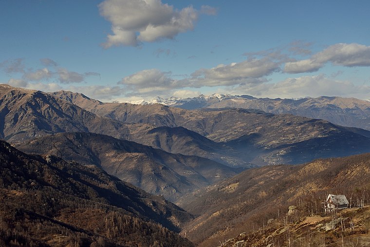
Photo: Remo costantini, CC BY-SA 4.0.
Montoso is a hamlet, which is situated 6 km east of Ex Rifugio Valanza.
Torre Pellice
Village

Photo: Mastrocom, CC BY-SA 3.0.
Torre Pellice is a village, which is situated 7 km northeast of Ex Rifugio Valanza.
Ex Rifugio Valanza
- Type: House
- Categories: building and residential building
- Location: Bagnolo Piemonte, Province of Cuneo, Piedmont, Northwest Italy, Italy, Europe
- View on OpenStreetMap
Latitude
44.77252° or 44° 46′ 21″ northLongitude
7.17389° or 7° 10′ 26″ eastElevation
1,750 metres (5,741 feet)Open location code
8FP9Q5FF+2HOpenStreetMap ID
way 191892203OpenStreetMap feature
building=house
This page is based on OpenStreetMap, Wikidata, and Wikimedia Commons.
We’d love your help improving our open data sources. Thank you for contributing.
Satellite Map
Discover Ex Rifugio Valanza from above in high-definition satellite imagery.
Notable Places Nearby
Highlights include Cava del Fin and Punta del Fin.
Nearby Places
Explore places such as La Palà and Agriturismo La Palà.
Piedmont: Must-Visit Destinations
Delve into Turin, Novara, Asti, and Alessandria.
Curious Houses to Discover
Uncover intriguing houses from every corner of the globe.
About Mapcarta. Data © OpenStreetMap contributors and available under the Open Database License". Text is available under the CC BY-SA 4.0 license, except for photos, directions, and the map. Photo: Wikimedia, CC BY-SA 3.0.