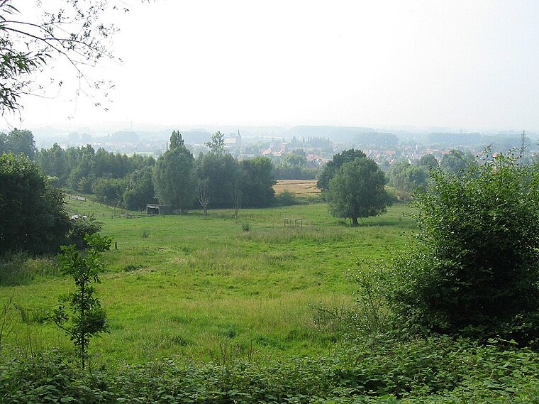
Bos t’Ename
Bos t’Ename is a meadow in Oudenaarde, East Flanders, Flanders. Bos t’Ename is situated nearby to the playground Speelplein Ham, as well as near the village Nederename.| Tap on a place to explore it |
Places of Interest Nearby
Highlights include Bos t’Ename and Sint-Vedastuskerk.
Sint-Vedastuskerk
Church

Photo: LimoWreck, CC BY-SA 3.0.
Sint-Vedastuskerk is a church, which is situated 1½ km west of Bos t’Ename.

Places in the Area
Nearby places include Nederename and Ename.

Ename
Village

Photo: Spotter2, CC BY-SA 3.0.
Ename is a Belgian village in the Flemish province of East Flanders. It stands on the right side of the river Scheldt and it is part of the municipality of Oudenaarde.
Welden
Village

Photo: Michielverbeek, CC BY-SA 3.0.
Welden is a village in the municipality of Oudenaarde in the province of East Flanders, Belgium, and is situated along the Scheldt. It is located about 20 kilometres south of Ghent.
Bos t’Ename
- Type: Meadow
- Location: Oudenaarde, Arrondissement of Oudenaarde, East Flanders, Flanders, Belgium, Benelux, Europe
- View on OpenStreetMap
Latitude
50.86291° or 50° 51′ 47″ northLongitude
3.65473° or 3° 39′ 17″ eastOperator
NatuurpuntOpen location code
9F25VM73+5VOpenStreetMap ID
way 195886511OpenStreetMap feature
landuse=meadow
This page is based on OpenStreetMap, Wikidata, and Wikimedia Commons.
We’d love your help improving our open data sources. Thank you for contributing.
Satellite Map
Discover Bos t’Ename from above in high-definition satellite imagery.
Places with the Same Name
Discover other places named “Bos t’Ename”.
Notable Places Nearby
Highlights include Speelplein Ham and Speelnatuur Enamebos.
Nearby Places
Explore places such as Welden Nederenamestraat and Ossemolen.
East Flanders: Must-Visit Destinations
Delve into Ghent, Aalst, Sint-Niklaas, and Dendermonde.
Curious Meadows to Discover
Uncover intriguing meadows from every corner of the globe.
About Mapcarta. Data © OpenStreetMap contributors and available under the Open Database License". Text is available under the CC BY-SA 4.0 license, except for photos, directions, and the map. Photo: Paul Hermans, CC BY-SA 3.0.