Lavanderia Fuori Porta
Lavanderia Fuori Porta is a building in Crema, Province of Cremona, Lombardy. Lavanderia Fuori Porta is situated nearby to the castle Villa Benvenuti, as well as near the canal Roggia Acqua Rossa.| Tap on a place to explore it |
Places of Interest Nearby
Highlights include Santa Maria Assunta, Ombriano and Stadio Giuseppe Voltini.
Santa Maria Assunta, Ombriano
Church

Photo: Ensahequ, CC BY-SA 4.0.
Santa Maria Assunta is the Roman Catholic parish church of Ombriano, a suburb of Crema, region of Lombardy, Italy. A church at the site is documented from the 11th century, but the present brick structure was built on the same foundations from 1786 to circa 1797. Santa Maria Assunta, Ombriano is situated 1 km southeast of Lavanderia Fuori Porta.
Stadio Giuseppe Voltini
Stadium
Stadio Giuseppe Voltini is a multi-use stadium in Crema, Lombardy, northern Italy. It is currently used mostly for football matches and is the home ground of A.C. Crema 1908 and U.S. Pergolettese 1932. The stadium holds 4,100. Stadio Giuseppe Voltini is situated 2½ km east of Lavanderia Fuori Porta.
Sant’Antonino
Church

Photo: Arbalete, Public domain.
Sant’Antonino is a church, which is situated 2 km south of Lavanderia Fuori Porta.
Places in the Area
Nearby places include Santo Stefano in Vairano and Zappello.
Santo Stefano in Vairano
Suburb
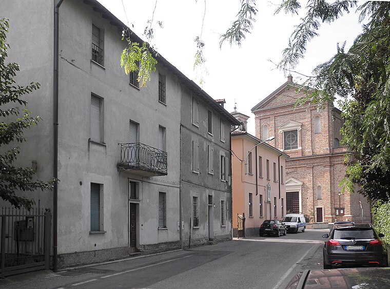
Photo: Arbalete, CC BY-SA 3.0.
Santo Stefano in Vairano is a frazione in Crema, Italy. Located north of the city, along the provincial road to Caravaggio, the railroad runs along it, parallel to the Vacchelli canal. Santo Stefano in Vairano is situated 3 km northeast of Lavanderia Fuori Porta.
Zappello
Village

Photo: Samuele Madini, CC BY-SA 4.0.
Zappello is a village, which is situated 4 km southeast of Lavanderia Fuori Porta.
Le Villette
Suburb

Photo: Lucascan, CC BY-SA 3.0.
Le Villette is a suburb, which is situated 4 km east of Lavanderia Fuori Porta.
Lavanderia Fuori Porta
- Type: Building
- Location: Crema, Province of Cremona, Lombardy, Northwest Italy, Italy, Europe
- View on OpenStreetMap
Latitude
45.35872° or 45° 21′ 31″ northLongitude
9.64207° or 9° 38′ 31″ eastOpen location code
8FQF9J5R+FROpenStreetMap ID
way 230991852OpenStreetMap feature
building=yes
This page is based on OpenStreetMap, Wikidata, and Wikimedia Commons.
We’d love your help improving our open data sources. Thank you for contributing.
Satellite Map
Discover Lavanderia Fuori Porta from above in high-definition satellite imagery.
Notable Places Nearby
Highlights include Villa Benvenuti and Parco della villa Benvenuti.
Nearby Places
Explore places such as Irving and Autotorino.
Lombardy: Must-Visit Destinations
Delve into Milan, Bergamo, Brescia, and Mantua.
Curious Buildings to Discover
Uncover intriguing buildings from every corner of the globe.
About Mapcarta. Data © OpenStreetMap contributors and available under the Open Database License". Text is available under the CC BY-SA 4.0 license, except for photos, directions, and the map. Photo: ChrisSampson87, CC BY-SA 4.0.