Fitpoint Fitness Bocholt
Fitpoint Fitness Bocholt is a sports venue in Bocholt, Arrondissement of Maaseik, Flanders. Fitpoint Fitness Bocholt is situated nearby to the police station Wijkpolitie Bocholt, as well as near the community center Jeugd- en cultuurhuis De Steen.| Tap on a place to explore it |
Places of Interest Nearby
Highlights include St. Lawrence’s Church, Bocholt and Brasserie Martens.
St. Lawrence’s Church, Bocholt
Church
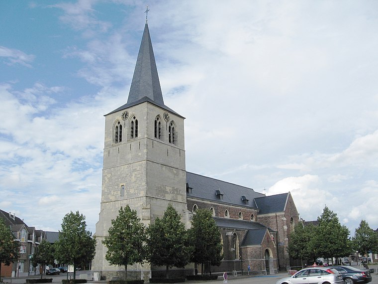
Photo: Sonuwe, CC BY-SA 3.0.
St. Lawrence's Church is the parish church of Bocholt, Belgium, dedicated to Saint Lawrence. St. Lawrence’s Church, Bocholt is situated 360 metres southeast of Fitpoint Fitness Bocholt.
Brasserie Martens
Industrial building

Photo: Paul Hermans, CC BY-SA 4.0.
Brasserie Martens is an industrial building, which is situated 490 metres southeast of Fitpoint Fitness Bocholt.
Damburg
Building

Photo: Koen Nijsen, CC BY-SA 4.0.
Damburg is a building, which is situated 780 metres south of Fitpoint Fitness Bocholt.
Places in the Area
Nearby places include Reppel and Beek.
Reppel
Village

Photo: Sonuwe, CC BY-SA 3.0.
Reppel is a village, which is situated 2½ km south of Fitpoint Fitness Bocholt.
Beek
Village
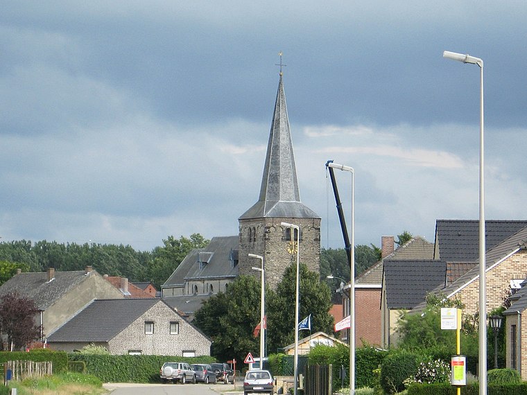
Photo: Sonuwe, CC BY-SA 3.0.
Beek is a village, which is situated 3 km southeast of Fitpoint Fitness Bocholt.
Bree
Town

Photo: Sonuwe, CC BY-SA 3.0.
Bree is a municipality and city in the Flemish province of Limburg, Belgium. In December 2021, Bree had a total population of 16,097. The total area is 64.96 km2 which gives it a population density of 246 inhabitants per square kilometre. Bree is situated 4 km southeast of Fitpoint Fitness Bocholt.
Fitpoint Fitness Bocholt
- Type: Sports venue
- Categories: building, recreation area, and sports location
- Location: Bocholt, Arrondissement of Maaseik, Limburg, Flanders, Belgium, Benelux, Europe
- View on OpenStreetMap
Latitude
51.17513° or 51° 10′ 31″ northLongitude
5.57587° or 5° 34′ 33″ eastOpen location code
9F375HGG+38OpenStreetMap ID
way 264209618OpenStreetMap feature
building=yesOpenStreetMap feature
leisure=sports_centre
This page is based on OpenStreetMap, Wikidata, and Wikimedia Commons.
We’d love your help improving our open data sources. Thank you for contributing.
Satellite Map
Discover Fitpoint Fitness Bocholt from above in high-definition satellite imagery.
Notable Places Nearby
Highlights include Wijkpolitie Bocholt and Jeugd- en cultuurhuis De Steen.
Nearby Places
Explore places such as Carrefour Market and ALDI.
Limburg: Must-Visit Destinations
Delve into Sint-Truiden, Hasselt, Tongeren, and Genk.
Curious Sports Venues to Discover
Uncover intriguing sports venues from every corner of the globe.
About Mapcarta. Data © OpenStreetMap contributors and available under the Open Database License". Text is available under the CC BY-SA 4.0 license, except for photos, directions, and the map. Photo: Paul Hermans, CC BY-SA 3.0.