Greenhills Farm
Greenhills Farm is a farm in Codsall, South Staffordshire District, England. Greenhills Farm is situated nearby to the forest Bedford Gorse, as well as near the meadow Oaken Nurseries.| Tap on a place to explore it |
Places of Interest Nearby
Highlights include Codsall railway station and Bilbrook railway station.
Codsall railway station
Railway station
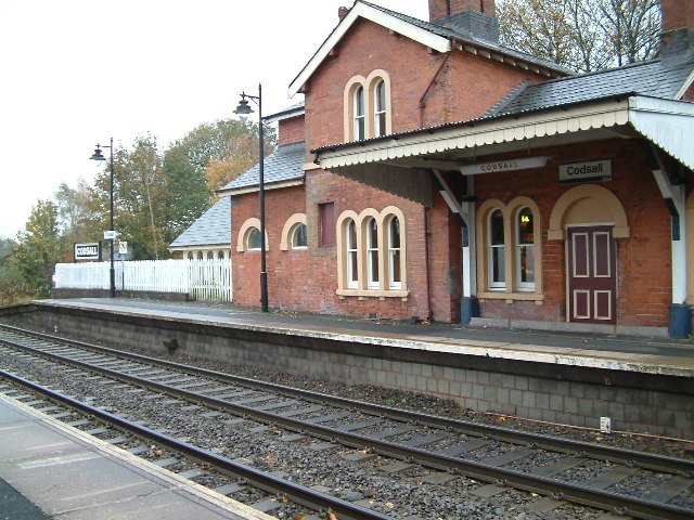
Photo: Hilary Wright, CC BY-SA 2.0.
Codsall railway station serves the village of Codsall in Staffordshire, England. Codsall railway station is situated 4,100 feet north of Greenhills Farm.
Bilbrook railway station
Railway station
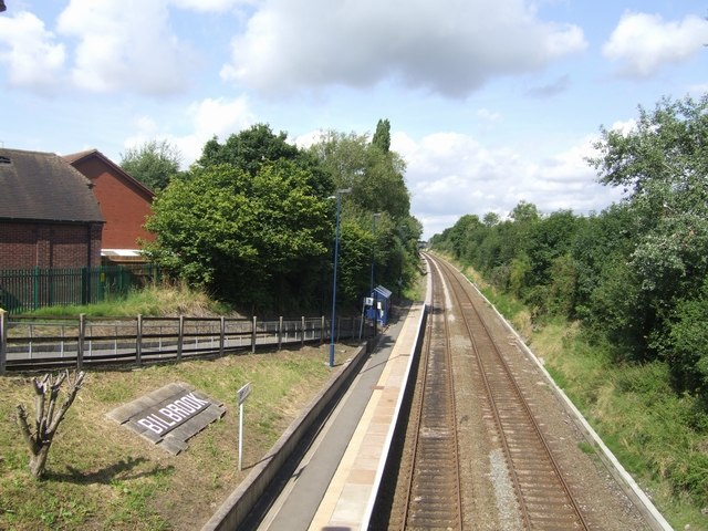
Photo: John M, CC BY-SA 2.0.
Bilbrook railway station is a railway station which serves the village of Bilbrook in Staffordshire, England. It was known as Birches and Bilbrook Halt when opened, being renamed to Bilbrook on 6 May 1974. Bilbrook railway station is situated 1 mile northeast of Greenhills Farm.
Codsall Community High School
School
Codsall Community High School is a coeducational upper school and sixth form located in Codsall, Staffordshire, England. It is located near to Wolverhampton. A total of 1017 pupils attend the school. Codsall Community High School is situated 1 mile northeast of Greenhills Farm.
Places in the Area
Nearby places include Codsall and Claregate.
Codsall
Village
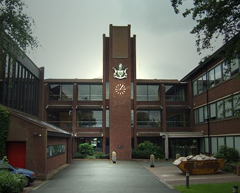
Photo: John M, CC BY-SA 2.0.
Codsall is a village and civil parish in the South Staffordshire district of Staffordshire, England. It is situated 5 miles northwest of Wolverhampton and 13 miles east-southeast of Telford.
Claregate
Neighborhood
Claregate is a suburb of Wolverhampton, West Midlands, England. It is north west of Wolverhampton city centre, within the Tettenhall Regis ward. Claregate is situated 2 miles east of Greenhills Farm.
Nurton
Hamlet
Nurton is a hamlet in the South Staffordshire District, in the English county of Staffordshire. Nearby settlements include the city of Wolverhampton and the villages of Perton and Pattingham. Nurton is situated 2 miles southwest of Greenhills Farm.
Greenhills Farm
- Type: Farm
- Category: agriculture
- Location: Codsall, South Staffordshire District, Staffordshire, West Midlands, England, United Kingdom, Britain and Ireland, Europe
- View on OpenStreetMap
Latitude
52.61612° or 52° 36′ 58″ northLongitude
-2.20284° or 2° 12′ 10″ westOpen location code
9C4VJQ8W+CVOpenStreetMap ID
way 273537094OpenStreetMap feature
landuse=farmyard
This page is based on OpenStreetMap, Wikidata, and Wikimedia Commons.
We’d love your help improving our open data sources. Thank you for contributing.
Satellite Map
Discover Greenhills Farm from above in high-definition satellite imagery.
Places with the Same Name
Discover other places named “Greenhills Farm”.
Notable Places Nearby
Highlights include Bedford Gorse and Oaken Nurseries.
Nearby Places
Explore places such as Heath House Farm and Meadow Way.
Staffordshire: Must-Visit Destinations
Delve into Stoke-on-Trent, Lichfield, Stafford, and Tamworth.
Curious Farms to Discover
Uncover intriguing farms from every corner of the globe.
About Mapcarta. Data © OpenStreetMap contributors and available under the Open Database License". Text is available under the CC BY-SA 4.0 license, except for photos, directions, and the map. Photo: Wikimedia, CC0.