Kasteelbrouwerij De Dool
Kasteelbrouwerij De Dool is a brewery in Limburg, Flanders which is located on Eikendreef. Kasteelbrouwerij De Dool is situated nearby to the castle Kasteel Ter Dolen, as well as near the pitch KFC Helson - terrein B.| Tap on a place to explore it |
Places of Interest Nearby
Highlights include Kasteel Ter Dolen and Sint-Trudokerk.

Sint-Trudokerk
Church
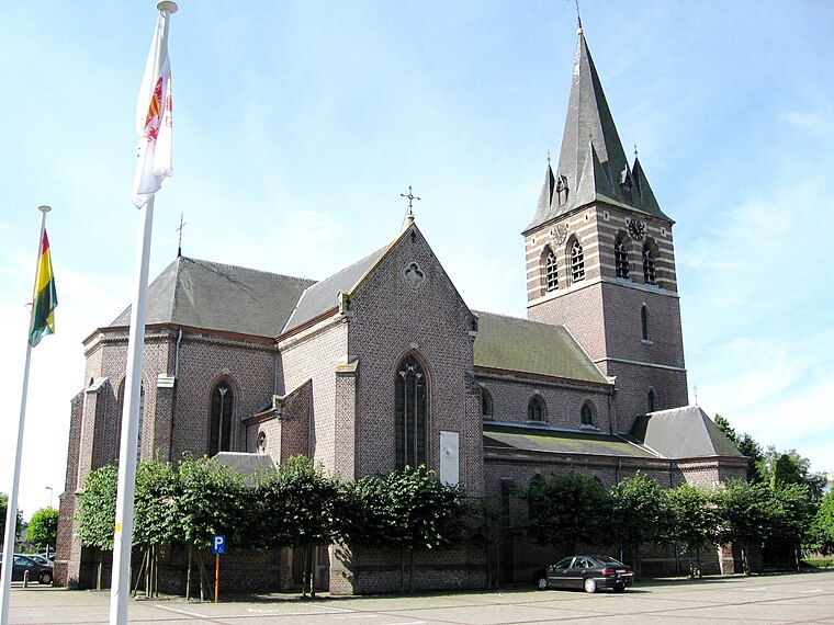
Photo: Sonuwe, CC BY-SA 3.0.
Sint-Trudokerk is a church, which is situated 1 km south of Kasteelbrouwerij De Dool.
Onze-Lieve-Vrouw-van-Zeven-Weeënkerk
Community center
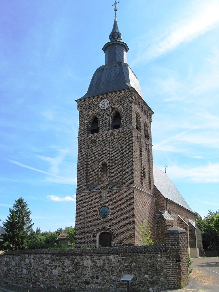
Photo: Sonuwe, CC BY-SA 3.0.
Onze-Lieve-Vrouw-van-Zeven-Weeënkerk is a community center, which is situated 2½ km south of Kasteelbrouwerij De Dool.
Places in the Area
Nearby places include Helchteren and Houthalen-Helchteren.
Houthalen-Helchteren
Town

Photo: Sonuwe, CC BY-SA 3.0.
Houthalen-Helchteren is a municipality located in the Belgian province of Limburg. Houthalen-Helchteren consists of Houthalen-centrum, Houthalen-Oost, Helchteren, Sonnis, Laak, Meulenberg and Lillo.
Houthalen
Village
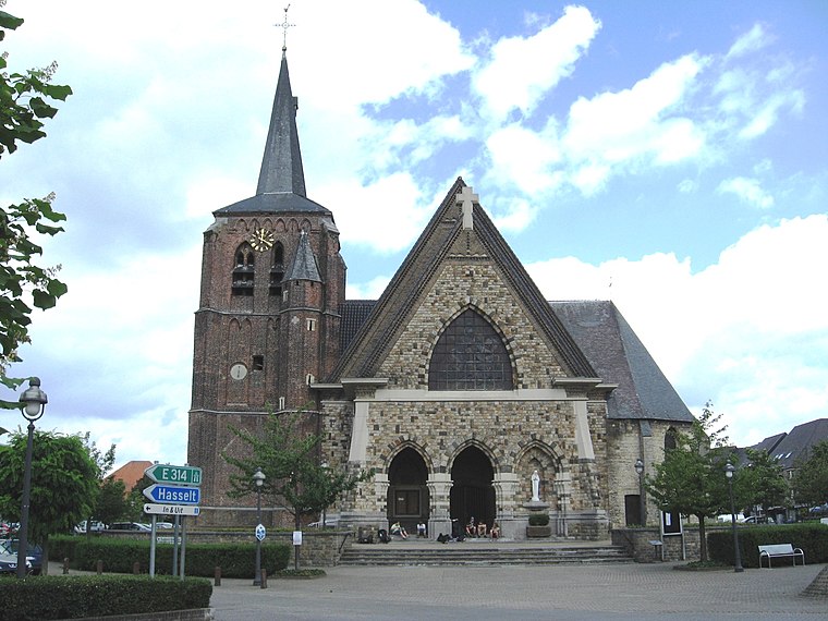
Photo: Sonuwe, CC BY-SA 3.0.
Houthalen is a village, which is situated 4 km south of Kasteelbrouwerij De Dool.
Kasteelbrouwerij De Dool
Latitude
51.06484° or 51° 3′ 53″ northLongitude
5.38834° or 5° 23′ 18″ eastOpen location code
9F37397Q+W8OpenStreetMap ID
way 298903837OpenStreetMap feature
building=farmOpenStreetMap feature
craft=breweryOpenStreetMap feature
historic=farm
This page is based on OpenStreetMap, Wikidata, and Wikimedia Commons.
We’d love your help improving our open data sources. Thank you for contributing.
Satellite Map
Discover Kasteelbrouwerij De Dool from above in high-definition satellite imagery.
Notable Places Nearby
Highlights include KFC Helson - terrein B and KFC Helson - terrein C.
Nearby Places
Explore places such as Het land van bier, melk en honing and KFC Helson.
Limburg: Must-Visit Destinations
Delve into Sint-Truiden, Hasselt, Tongeren, and Genk.
Curious Breweries to Discover
Uncover intriguing breweries from every corner of the globe.
About Mapcarta. Data © OpenStreetMap contributors and available under the Open Database License". Text is available under the CC BY-SA 4.0 license, except for photos, directions, and the map. Photo: Paul Hermans, CC BY-SA 3.0.