‘t Rattekasteel
‘t Rattekasteel is a farm in Wervik, Arrondissement of Ypres, Flanders. ‘t Rattekasteel is situated nearby to the community center ‘t Schooltje, as well as near the forest Moeremaaibos.| Tap on a place to explore it |
Places of Interest Nearby
Highlights include Basiliek van Onze-Lieve-Vrouw van Dadizele and Sint-Martinuskerk.
Basiliek van Onze-Lieve-Vrouw van Dadizele
Church

Photo: Paul Hermans, CC BY-SA 3.0.
Basiliek van Onze-Lieve-Vrouw van Dadizele is a church, which is situated 3 km east of ‘t Rattekasteel.
Sint-Martinuskerk
Church

Photo: LimoWreck, CC BY-SA 3.0.
Sint-Martinuskerk is a church, which is situated 2½ km west of ‘t Rattekasteel.
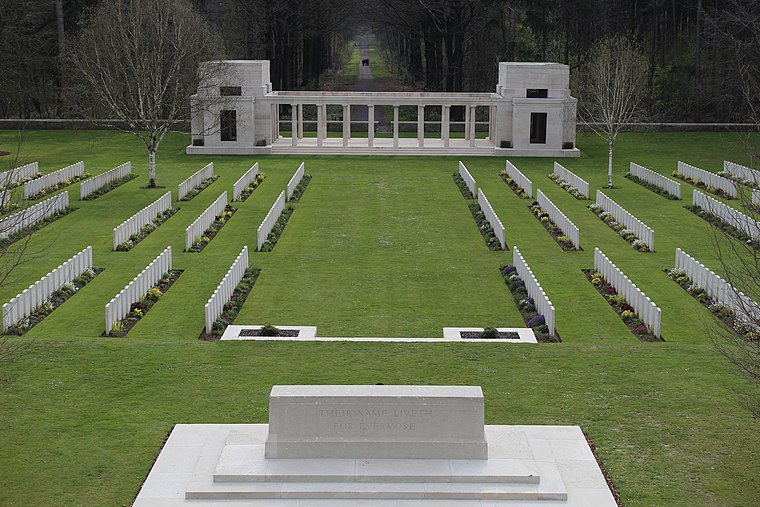
Dadizeele New British Cemetery
Cemetery

Photo: Wernervc, CC BY-SA 3.0.
Dadizeele New British Cemetery is situated 2 km east of ‘t Rattekasteel.
Places in the Area
Nearby places include Beselare and Dadizele.
Dadizele
Suburb

Photo: LimoWreck, CC BY-SA 3.0.
Moorslede is a municipality located in the Belgian province of West Flanders. The municipality comprises the towns of Dadizele, Slypskapelle and Moorslede proper. On 1 January 2006, Moorslede had a total population of 10,618. The total area is 35.34 km. Dadizele is situated 3 km east of ‘t Rattekasteel.
Geluwe
Village

Photo: Zeisterre, CC BY-SA 4.0.
Geluwe is a town in the West Flemish province of Belgium. It is contained within the municipality of Wervik. The town is known for the "yawning festival". Geluwe is situated 4 km south of ‘t Rattekasteel.
‘t Rattekasteel
- Type: Farm
- Category: agriculture
- Location: Wervik, Arrondissement of Ypres, West Flanders, Flanders, Belgium, Benelux, Europe
- View on OpenStreetMap
Latitude
50.84386° or 50° 50′ 38″ northLongitude
3.05708° or 3° 3′ 26″ eastOpen location code
9F25R3V4+GROpenStreetMap ID
way 314853113OpenStreetMap feature
landuse=farmyard
This page is based on OpenStreetMap, Wikidata, and Wikimedia Commons.
We’d love your help improving our open data sources. Thank you for contributing.
Satellite Map
Discover ‘t Rattekasteel from above in high-definition satellite imagery.
Notable Places Nearby
Highlights include ‘t Schooltje and Peutevinkapel.
Nearby Places
Explore places such as Geluwe Ter Hand and Maria Grot.
West Flanders: Must-Visit Destinations
Delve into Bruges, Kortrijk, Ypres, and Ostend.
Curious Farms to Discover
Uncover intriguing farms from every corner of the globe.
About Mapcarta. Data © OpenStreetMap contributors and available under the Open Database License". Text is available under the CC BY-SA 4.0 license, except for photos, directions, and the map. Photo: MJJR, CC BY 3.0.