Universidad Tecnologica de México Campus Sur
Universidad Tecnologica de México Campus Sur is an university in Iztapalapa, Mexico City which is located on Calzada Ermita Iztapalapa. Universidad Tecnologica de México Campus Sur is situated nearby to the church San Marcos Evangelista, as well as near Templo de San Marcos Apóstol y Evangelista.| Tap on a place to explore it |
Places of Interest Nearby
Highlights include Mexicaltzingo metro station and Cuauhtémoc Moctezuma Brewery.
Mexicaltzingo metro station
Metro station

Photo: GAED, CC BY-SA 3.0.
Mexicaltzingo is a station on Line 12 of the Mexico City Metro. The station is located between Ermita and Atlalilco. It was opened on 30 October 2012 as a part of the first stretch of Line 12 between Mixcoac and Tláhuac. Mexicaltzingo metro station is situated 520 metres west of Universidad Tecnologica de México Campus Sur.
Cuauhtémoc Moctezuma Brewery

Photo: Spangineer, CC BY-SA 3.0.
Cervecería Cuauhtémoc Moctezuma is a major brewery based in Monterrey, Nuevo León, Mexico, founded in 1890. It is a subsidiary of Heineken International. Cuauhtémoc Moctezuma Brewery is situated 560 metres east of Universidad Tecnologica de México Campus Sur.
Escuadrón 201 metro station
Metro station
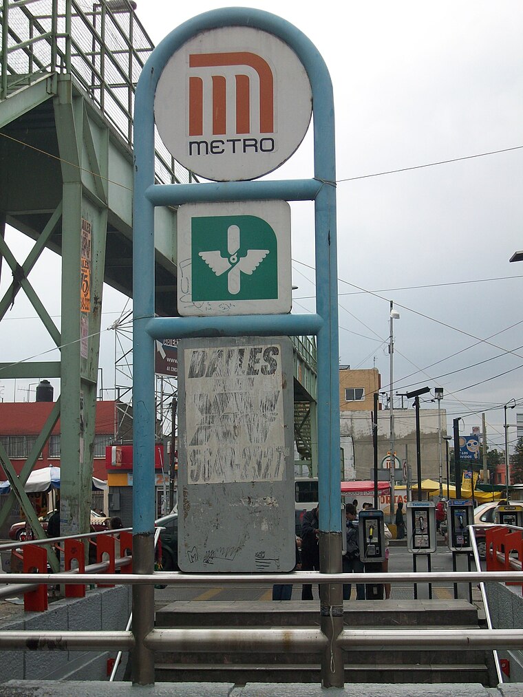
Photo: GAED, CC BY-SA 3.0.
Escuadrón 201 is a metro station in Mexico City, Mexico. It is located in the city's eastern Iztapalapa borough, close to the intersection of Eje 3 Oriente and Eje 8 Sur. Escuadrón 201 metro station is situated 1¼ km northeast of Universidad Tecnologica de México Campus Sur.
Places in the Area
Nearby places include Pueblo Culhuacán and Churubusco.
Pueblo Culhuacán
Quarter

Photo: Thelmadatter, CC BY-SA 3.0.
Pueblo Culhuacán is an officially designated neighborhood of the Iztapalapa borough of Mexico City, which used to be a major pre-Hispanic city. Ancient Culhuacán was founded around 600 CE and the site has been continuously occupied since.
Churubusco
Quarter

Photo: Adolphe Jean-Baptiste Bayot, Public domain.
Churubusco is a neighbourhood of Mexico City. Under the current territorial division of the Mexican Federal District, it is a part of the borough of Coyoacán. Churubusco is situated 3½ km west of Universidad Tecnologica de México Campus Sur.
Colonia de La Candelaria
Quarter

Photo: Betoqa, CC BY-SA 3.0.
Colonia de La Candelaria is a quarter, which is situated 4 km southwest of Universidad Tecnologica de México Campus Sur.
Universidad Tecnologica de México Campus Sur
- Type: University
- Address: 557 Calzada Ermita Iztapalapa
- Category: education
- Location: Iztapalapa, Mexico City, Central Mexico, Mexico, North America
- View on OpenStreetMap
Latitude
19.35643° or 19° 21′ 23″ northLongitude
-99.11793° or 99° 7′ 5″ westOpen location code
76F29V4J+HROpenStreetMap ID
way 320468428OpenStreetMap feature
amenity=university
This page is based on OpenStreetMap, Wikidata, and Wikimedia Commons.
We’d love your help improving our open data sources. Thank you for contributing.
Satellite Map
Discover Universidad Tecnologica de México Campus Sur from above in high-definition satellite imagery.
Notable Places Nearby
Highlights include San Marcos Evangelista and Templo de San Marcos Apóstol y Evangelista.
Nearby Places
Explore places such as Edificio E and Edificio B.
Mexico City: Must-Visit Destinations
Delve into Centro, Xochimilco, Coyoacán, and Condesa and Roma.
Curious University Buildings to Discover
Uncover intriguing university buildings from every corner of the globe.
About Mapcarta. Data © OpenStreetMap contributors and available under the Open Database License". Text is available under the CC BY-SA 4.0 license, except for photos, directions, and the map. Photo: Pancho Cárdenas, CC BY-SA 3.0.