Parco Comunale di Via Braguti
Parco Comunale di Via Braguti is a park in Crema, Province of Cremona, Lombardy. Parco Comunale di Via Braguti is situated nearby to the church Chiesa del Sacro Cuore di Gesù, as well as near the hospital ASL.| Tap on a place to explore it |
Places of Interest Nearby
Highlights include Porta Ombriano and Torre Pretoria.
Porta Ombriano
City gate

Photo: MarkusMark, CC BY-SA 3.0.
Porta Ombriano is a city gate, which is situated 730 metres southeast of Parco Comunale di Via Braguti.
Torre Pretoria

Photo: Cremasco, CC BY-SA 4.0.
Torre Pretoria is situated 1 km east of Parco Comunale di Via Braguti.
Palazzo comunale
Town hall

Photo: Cremasco, CC BY-SA 4.0.
Palazzo comunale is a town hall, which is situated 1 km east of Parco Comunale di Via Braguti.
Places in the Area
Nearby places include Le Villette and Santo Stefano in Vairano.

Santo Stefano in Vairano
Suburb
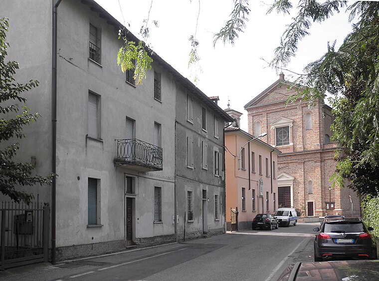
Photo: Arbalete, CC BY-SA 3.0.
Santo Stefano in Vairano is a frazione in Crema, Italy. Located north of the city, along the provincial road to Caravaggio, the railroad runs along it, parallel to the Vacchelli canal.

Parco Comunale di Via Braguti
- Type: Park
- Category: recreation area
- Location: Crema, Province of Cremona, Lombardy, Northwest Italy, Italy, Europe
- View on OpenStreetMap
Latitude
45.36545° or 45° 21′ 56″ northLongitude
9.67622° or 9° 40′ 34″ eastOpen location code
8FQF9M8G+5FOpenStreetMap ID
way 34387507OpenStreetMap feature
leisure=park
This page is based on OpenStreetMap, Wikidata, and Wikimedia Commons.
We’d love your help improving our open data sources. Thank you for contributing.
Satellite Map
Discover Parco Comunale di Via Braguti from above in high-definition satellite imagery.
Notable Places Nearby
Highlights include Braguti and Via Braguti.
Nearby Places
Explore places such as Luca and Oratorio Crema Nuova.
Lombardy: Must-Visit Destinations
Delve into Milan, Bergamo, Brescia, and Mantua.
Curious Parks to Discover
Uncover intriguing parks from every corner of the globe.
About Mapcarta. Data © OpenStreetMap contributors and available under the Open Database License". Text is available under the CC BY-SA 4.0 license, except for photos, directions, and the map. Photo: ChrisSampson87, CC BY-SA 4.0.