Samariterbund Traiskirchen-Trumau
Samariterbund Traiskirchen-Trumau is an ambulance station in Traiskirchen, Politischer Bezirk Baden, Lower Austria which is located on Karl Adlitzer-Straße. Samariterbund Traiskirchen-Trumau is situated nearby to the fountain Europaplatz, as well as near the shopping center EKZ-Traiskirchen Nord.| Tap on a place to explore it |
Places of Interest Nearby
Highlights include St. Margareta (Traiskirchen) and Traiskirchen Aspangbahn railway station.
St. Margareta (Traiskirchen)
Church
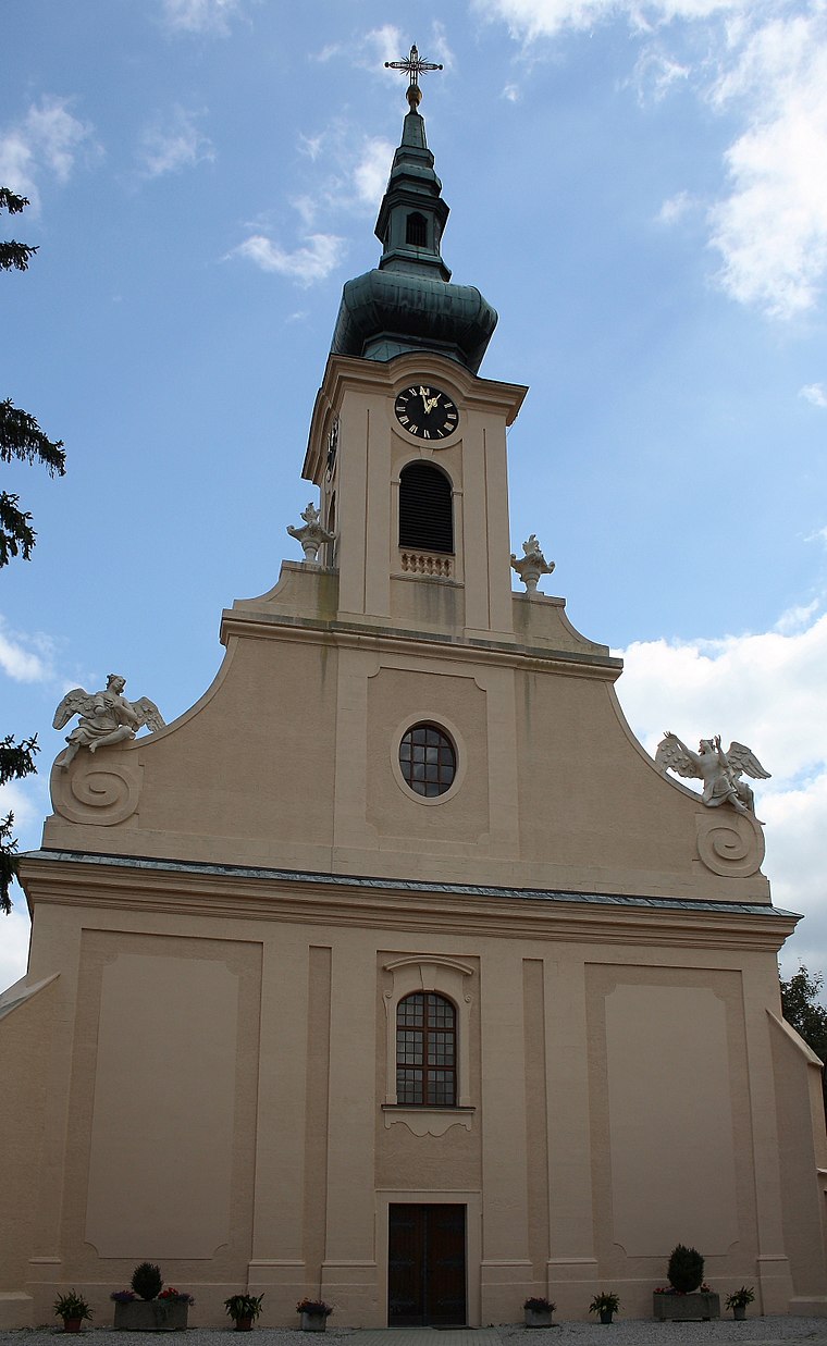
Photo: Bwag, CC BY-SA 3.0.
St. Margareta (Traiskirchen) is a church, which is situated 400 metres southwest of Samariterbund Traiskirchen-Trumau.
Traiskirchen Aspangbahn railway station
Railway station

Photo: Priwo, Public domain.
Traiskirchen Aspangbahn railway station is situated 480 metres southeast of Samariterbund Traiskirchen-Trumau.
Saint Nicholas Church
Church

Photo: Bwag, CC BY-SA 4.0.
Saint Nicholas Church is situated 760 metres south of Samariterbund Traiskirchen-Trumau.
Places in the Area
Nearby places include Pfaffstätten and Tribuswinkel.
Pfaffstätten
Village

Photo: Wikimedia, CC BY-SA 3.0.
Pfaffstätten is a town in the district of Baden in Lower Austria in Austria. Pfaffstätten is situated 2½ km west of Samariterbund Traiskirchen-Trumau.
Tribuswinkel
Village

Photo: Bwag, CC BY-SA 4.0.
Tribuswinkel is a town and cadastral community in the district of Baden in Lower Austria in northeast Austria. Since 1972, it is part of the Municipality of Traiskirchen. Tribuswinkel is situated 2½ km southwest of Samariterbund Traiskirchen-Trumau.
Gumpoldskirchen
Village

Photo: Bwag, CC BY-SA 4.0.
Gumpoldskirchen is a town in the district of Mödling in the Austrian state of Lower Austria. Gumpoldskirchen borders on the municipalities Mödling, Guntramsdorf, Gaaden, Pfaffstätten and Traiskirchen. Gumpoldskirchen is situated 3 km northwest of Samariterbund Traiskirchen-Trumau.
Samariterbund Traiskirchen-Trumau
- Type: Ambulance station
- Address: Karl Adlitzer-Straße 4, Traiskirchen, 2514
- Categories: building and health care
- Location: Traiskirchen, Politischer Bezirk Baden, Lower Austria, Austria, Central Europe, Europe
- View on OpenStreetMap
Latitude
48.02061° or 48° 1′ 14″ northLongitude
16.29843° or 16° 17′ 54″ eastOperator
Arbeiter-Samariter-Bund ÖsterreichsOpen location code
8FWR27CX+69OpenStreetMap ID
way 35691584OpenStreetMap feature
building=yes
This page is based on OpenStreetMap, Wikidata, and Wikimedia Commons.
We’d love your help improving our open data sources. Thank you for contributing.
Satellite Map
Discover Samariterbund Traiskirchen-Trumau from above in high-definition satellite imagery.
Notable Places Nearby
Highlights include Europaplatz and EKZ-Traiskirchen Nord.
Nearby Places
Explore places such as BP and VW Gramsel.
Lower Austria: Must-Visit Destinations
Delve into St. Pölten, Wiener Neustadt, Amstetten, and Klosterneuburg.
Curious Ambulance Stations to Discover
Uncover intriguing ambulance stations from every corner of the globe.
About Mapcarta. Data © OpenStreetMap contributors and available under the Open Database License". Text is available under the CC BY-SA 4.0 license, except for photos, directions, and the map. Photo: Lonezor, CC BY-SA 3.0.