B16 - PASUM Building
B16 - PASUM Building is an university building in WP. Kuala Lumpur, Kuala Lumpur. B16 - PASUM Building is situated nearby to the university Centre For Foundation Studies In Science, as well as near Gateway to Japan.| Tap on a place to explore it |
- Type: University building
- Also known as: “B16 - Bangunan PASUM”
- Wheelchair access: yes
Places of Interest Nearby
Highlights include Museum of Asian Art and Botanical Garden.
Museum of Asian Art
Museum

Photo: *angys*, CC BY-SA 4.0.
The Museum of Asian Art is a museum located in Kuala Lumpur, Malaysia. The museum is dedicated to showcasing different art forms in various parts of the Asian continent. Museum of Asian Art is situated 1 km southwest of B16 - PASUM Building.
Botanical Garden
Nature reserve
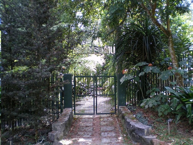
Photo: SpaceMonkey, Public domain.
Rimba Ilmu is a tropical botanical garden set up by the late Professor W.R. Stanton in 1974 on the campus of the University of Malaya in Kuala Lumpur, Malaysia.
Tunku Canselor Hall
University building

Photo: *angys*, CC BY-SA 4.0.
Tunku Canselor Hall is an university building, which is situated 340 metres southwest of B16 - PASUM Building.
Places in the Area
Nearby places include Bangsar and Kiara Hills.
Bangsar
Suburb
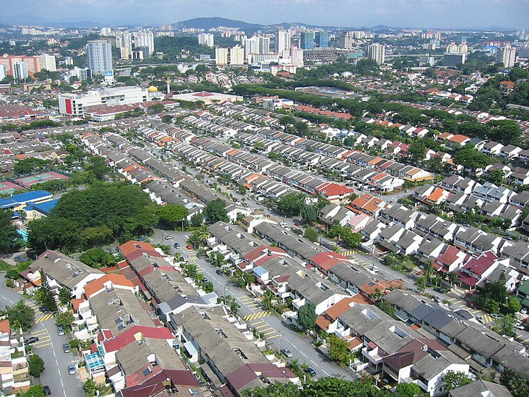
Photo: Melancholia i, Public domain.
Bangsar is a residential suburb on the outskirts of Kuala Lumpur, lying about 4 kilometres south-west of the city centre. It is part of the Lembah Pantai parliamentary constituency.
Kiara Hills
Neighborhood
Bukit Kiara is a densely forested area of Kuala Lumpur, Malaysia. The area is in proximity to the suburbs of Bukit Damansara, TTDI, Mont Kiara, Sri Hartamas, and Bangsar. Kiara Hills is situated 2½ km northwest of B16 - PASUM Building.
Pantai Dalam
Suburb

Photo: *angys*, CC BY-SA 4.0.
Pantai Dalam is a residential area located south-west of Kuala Lumpur, under the parliamentary constituency of Lembah Pantai. Represented in Dewan Rakyat by Parti Keadilan Rakyat, Fahmi Fadzil. Pantai Dalam is situated 2½ km southeast of B16 - PASUM Building.
B16 - PASUM Building
- Categories: building and education
- Location: WP. Kuala Lumpur, Kuala Lumpur, West Coast, Malaysia, Southeast Asia, Asia
- View on OpenStreetMap
Latitude
3.12322° or 3° 7′ 24″ northLongitude
101.65906° or 101° 39′ 33″ eastLevels
7Operator
Universiti MalayaOpen location code
6PM34MF5+7JOpenStreetMap ID
way 358007984OpenStreetMap feature
building=universityOpenStreetMap attribute
wheelchair=yes
This page is based on OpenStreetMap, Wikidata, and Wikimedia Commons.
We’d love your help improving our open data sources. Thank you for contributing.
Satellite Map
Discover B16 - PASUM Building from above in high-definition satellite imagery.
Notable Places Nearby
Highlights include Centre For Foundation Studies In Science and Gateway to Japan.
Nearby Places
Explore places such as B14 and B13.
Kuala Lumpur: Must-Visit Destinations
Delve into Golden Triangle, Old City Centre, North of City Centre, and Brickfields and Bangsar.
Curious Places to Discover
Uncover intriguing places from every corner of the globe.
About Mapcarta. Data © OpenStreetMap contributors and available under the Open Database License". Text is available under the CC BY-SA 4.0 license, except for photos, directions, and the map. Photo: Renek78, CC0.