Kasteelpark
Kasteelpark is a park in Huldenberg, Arrondissement of Leuven, Flanders. Kasteelpark is situated nearby to Castle Huldenberg, as well as near the chapel-shrine H. Familie (1818).| Tap on a place to explore it |
Places of Interest Nearby
Highlights include Castle Huldenberg and Onze-Lieve-Vrouwekerk.

Onze-Lieve-Vrouwekerk
Church
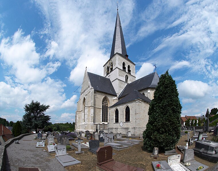
Photo: Wouterhagens, Public domain.
Onze-Lieve-Vrouwekerk is a church, which is situated 410 metres east of Kasteelpark.
Cruysboomkapel
Church
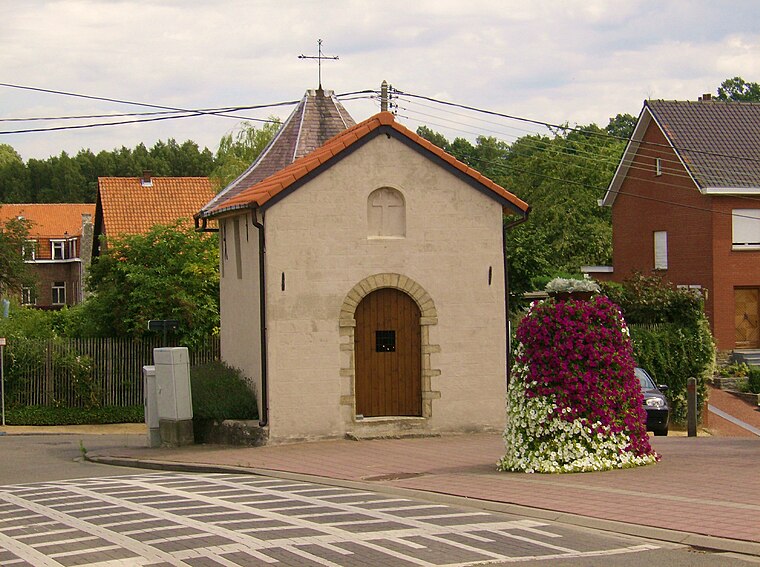
Photo: Demanvanzonien, CC BY-SA 3.0.
Cruysboomkapel is a church, which is situated 2½ km west of Kasteelpark.
Places in the Area
Nearby places include Duisburg and Overijse.
Duisburg
Village

Photo: David Edgar, CC BY-SA 3.0.
Duisburg is a village in Flemish Brabant, Belgium. It should not be confused with the German city of Duisburg. Duisburg is a part of the municipality of Tervuren that comprises the villages of Duisburg, Tervuren, Vossem and Moorsel. Duisburg is situated 3½ km northwest of Kasteelpark.
Overijse
Town

Photo: Wouterhagens, Public domain.
Overijse is a municipality in the province of Flemish Brabant, in the Flemish region of Belgium. It is a suburb of the wider Brussels metropolitan area. Overijse is situated 3½ km southwest of Kasteelpark.
Sint-Agatha-Rode
Village
Sint-Agatha-Rode, named after the third-century Christian martyr Saint Agatha of Sicily, is a Dutch-speaking village in Belgian province of Flemish Brabant and lies within the district of the town of Huldenberg. Sint-Agatha-Rode is situated 4 km east of Kasteelpark.
Kasteelpark
- Type: Park
- Category: recreation area
- Location: Huldenberg, Arrondissement of Leuven, Flemish Brabant, Flanders, Belgium, Benelux, Europe
- View on OpenStreetMap
Latitude
50.78958° or 50° 47′ 23″ northLongitude
4.5781° or 4° 34′ 41″ eastOpen location code
9F26QHQH+R6OpenStreetMap ID
way 37074803OpenStreetMap feature
leisure=park
This page is based on OpenStreetMap, Wikidata, and Wikimedia Commons.
We’d love your help improving our open data sources. Thank you for contributing.
Satellite Map
Discover Kasteelpark from above in high-definition satellite imagery.
Places with the Same Name
Discover other places named “Kasteelpark”.
Notable Places Nearby
Highlights include H. Familie (1818) and ‘t Pakhuis.
Nearby Places
Explore places such as Felix Sohie and De Ontsnapping.
Flemish Brabant: Must-Visit Destinations
Delve into Leuven, Kraainem, Vilvoorde, and Aarschot.
Curious Parks to Discover
Uncover intriguing parks from every corner of the globe.
About Mapcarta. Data © OpenStreetMap contributors and available under the Open Database License". Text is available under the CC BY-SA 4.0 license, except for photos, directions, and the map. Photo: Gf uip, CC BY-SA 3.0.