Italcementi Rescaldina
Italcementi Rescaldina is a quarry in Uboldo, Varese, Lombardy. Italcementi Rescaldina is situated nearby to the settling basin Bacino spaglio Rescaldina, as well as near the quarry Cava Fusi Uboldo - Gerenzano.| Tap on a place to explore it |
Places of Interest Nearby
Highlights include Rescaldina railway station and Santa Cosma e Damiano.
Rescaldina railway station
Railway station

Photo: Wikimedia, Public domain.
Rescaldina railway station is situated 2½ km northwest of Italcementi Rescaldina.
Santa Cosma e Damiano
Church

Photo: Yiyi, CC BY-SA 4.0.
Santa Cosma e Damiano is a church, which is situated 2½ km east of Italcementi Rescaldina.
Santa Maria del Soccorso
Church

Photo: Yiyi, CC BY-SA 4.0.
Santa Maria del Soccorso is a church, which is situated 2½ km northeast of Italcementi Rescaldina.
Places in the Area
Nearby places include Cerro Maggiore and Rescalda.
Cerro Maggiore
Town

Photo: Pino alpino, Public domain.
Cerro Maggiore is a comune in the Province of Milan in the Italian region Lombardy, located about 20 kilometres northwest of Milan. On 25 August 1946 Benito Mussolini's corpse was hidden in the town, remaining here until 30 August 1957. Cerro Maggiore is situated 3 km southwest of Italcementi Rescaldina.
Rescalda
Suburb

Photo: Wikimedia, Public domain.
Rescalda is a suburb, which is situated 3½ km northwest of Italcementi Rescaldina.
Massina
Village
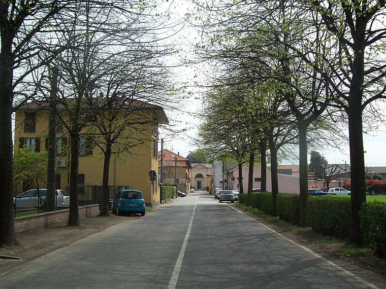
Photo: Adelchi, CC BY-SA 3.0.
Massina is a village, which is situated 3½ km north of Italcementi Rescaldina.
Italcementi Rescaldina
- Type: Quarry
- Category: industry
- Location: Uboldo, Varese, Lombardy, Northwest Italy, Italy, Europe
- View on OpenStreetMap
Latitude
45.61311° or 45° 36′ 47″ northLongitude
8.97544° or 8° 58′ 32″ eastOpen location code
8FQCJX7G+65OpenStreetMap ID
way 385989316OpenStreetMap feature
landuse=quarry
This page is based on OpenStreetMap, Wikidata, and Wikimedia Commons.
We’d love your help improving our open data sources. Thank you for contributing.
Satellite Map
Discover Italcementi Rescaldina from above in high-definition satellite imagery.
Notable Places Nearby
Highlights include Bacino spaglio Rescaldina and Cava Fusi Uboldo - Gerenzano.
Nearby Places
Explore places such as Scarico depuratore Rescaldina and Blum Garden.
Varese: Must-Visit Destinations
Delve into Varese, Busto Arsizio, Gallarate, and Saronno.
Curious Quarries to Discover
Uncover intriguing quarries from every corner of the globe.
About Mapcarta. Data © OpenStreetMap contributors and available under the Open Database License". Text is available under the CC BY-SA 4.0 license, except for photos, directions, and the map. Photo: Simo ubuntu, CC BY-SA 3.0.