International Golf Maastricht
International Golf Maastricht is a building in Limburg, Flanders. International Golf Maastricht is situated nearby to Foodcourt Maastricht, as well as near Skibaan Dousberg.| Tap on a place to explore it |
Places of Interest Nearby
Highlights include Sint-Lambertuskerk and Maastricht City Hall.
Sint-Lambertuskerk
Church

Photo: Paul Hermans, CC BY-SA 4.0.
Sint-Lambertuskerk is a church, which is situated 1½ km northwest of International Golf Maastricht.
Maastricht City Hall
Town hall

Photo: W. Bulach, CC BY-SA 4.0.
The Stadhuis is the historic town hall in the centre of Maastricht in the Netherlands. It is sited on the Markt square, an open-air marketplace. The building was designed by the Dutch Gold Age architect and painter Pieter Post in the 17th century in the style of Dutch classicism. Maastricht City Hall is situated 3½ km east of International Golf Maastricht.
Sint-Michielskerk
Church
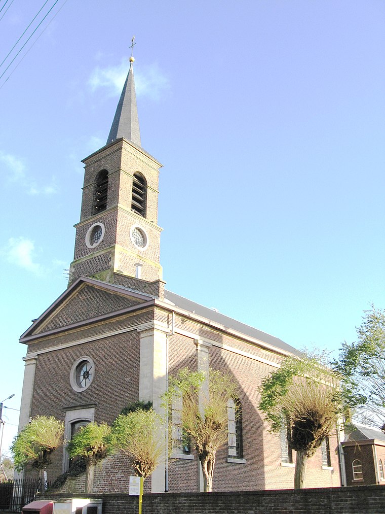
Photo: Sonuwe, CC BY-SA 3.0.
Sint-Michielskerk is a church, which is situated 2 km southwest of International Golf Maastricht.
Places in the Area
Nearby places include Veldwezelt and Lanakerveld.
Lanakerveld
Neighborhood

Photo: Paul Hermans, CC BY-SA 4.0.
Lanakerveld is a neighborhood, which is situated 2½ km northeast of International Golf Maastricht.
Biesland
Neighborhood
Biesland is a neighbourhood of Maastricht, Netherlands located in the southwest of the city. It is mainly a residential neighbourhood and relatively affluent. Biesland is situated 2½ km southeast of International Golf Maastricht.
International Golf Maastricht
Latitude
50.85453° or 50° 51′ 16″ northLongitude
5.64391° or 5° 38′ 38″ eastInception
2014Open location code
9F27VJ3V+RHOpenStreetMap ID
way 437512606OpenStreetMap feature
building=yes
This page is based on OpenStreetMap, Wikidata, and Wikimedia Commons.
We’d love your help improving our open data sources. Thank you for contributing.
Satellite Map
Discover International Golf Maastricht from above in high-definition satellite imagery.
Notable Places Nearby
Highlights include Foodcourt Maastricht and Skibaan Dousberg.
Nearby Places
Explore places such as Rantrée and Driving range.
Limburg: Must-Visit Destinations
Delve into Sint-Truiden, Hasselt, Tongeren, and Genk.
Curious Buildings to Discover
Uncover intriguing buildings from every corner of the globe.
About Mapcarta. Data © OpenStreetMap contributors and available under the Open Database License". Text is available under the CC BY-SA 4.0 license, except for photos, directions, and the map. Photo: Paul Hermans, CC BY-SA 3.0.