Fall Creek Condominiums
Fall Creek Condominiums is a residential area in California, United States. Fall Creek Condominiums is situated nearby to Northminster Presbyterian Church, as well as near Hole#1_SandTrap_Greenside3.| Tap on a place to explore it |
Places of Interest Nearby
Highlights include City of Industry station and Hilmer Lodge Stadium.
City of Industry station
Railway station
City of Industry station is a Metrolink train station located at 600 South Brea Canyon Road in City of Industry, California. Metrolink's Riverside Line trains between Los Angeles Union Station and Riverside–Downtown station stop here. City of Industry station is situated 2 miles west of Fall Creek Condominiums.
Hilmer Lodge Stadium
Stadium

Photo: Wikimedia, Public domain.
Hilmer Lodge Stadium on the Mt. San Antonio College campus in Walnut, California, is the athletic stadium for the community college and home to the Mt. Hilmer Lodge Stadium is situated 2½ miles northwest of Fall Creek Condominiums.
Elephant Hill
Peak
Elephant Hill is a hill, the northernmost summit in the Puente Hills of Los Angeles County, California, United States. It rises to an elevation of 1,145 feet / 349 meters. Elephant Hill is situated 2½ miles north of Fall Creek Condominiums.
Places in the Area
Nearby places include Diamond Bar and Walnut.
Diamond Bar
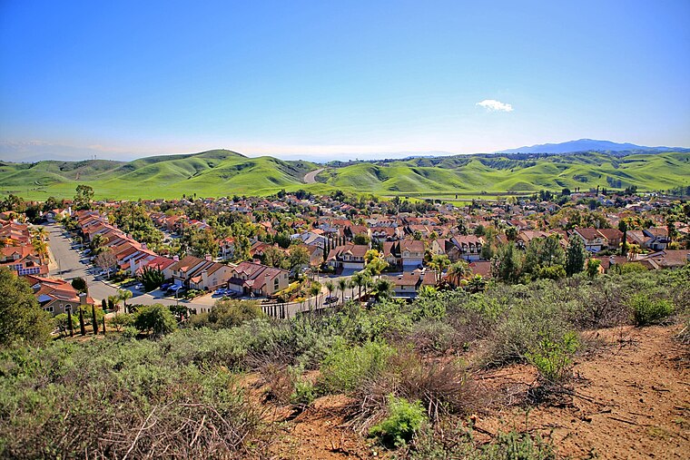
Photo: Thebluewriter, CC BY-SA 4.0.
Diamond Bar is a city in eastern Los Angeles County, California, United States. The 2020 census listed a population of 55,072. It is one of a few cities in California with a majority Asian population.
Walnut
Town

Photo: sdb 86, CC BY-SA 2.0.
Walnut is a city in the eastern part of Los Angeles County in the U.S. state of California. According to the 2020 census, the city had a population of 28,430. Walnut is situated 3 miles west of Fall Creek Condominiums.
Chino Hills

Photo: Tmv, CC BY-SA 3.0.
Chino Hills is a suburb of Los Angeles in San Bernardino County in Southern California.
Fall Creek Condominiums
- Type: Residential area
- Location: California, United States, North America
- View on OpenStreetMap
Latitude
34.019° or 34° 1′ 8″ northLongitude
-117.81243° or 117° 48′ 45″ westOpen location code
8564259Q+J2OpenStreetMap ID
way 493014008OpenStreetMap feature
landuse=residential
This page is based on OpenStreetMap, Wikidata, and Wikimedia Commons.
We’d love your help improving our open data sources. Thank you for contributing.
Satellite Map
Discover Fall Creek Condominiums from above in high-definition satellite imagery.
Notable Places Nearby
Highlights include Northminster Presbyterian Church and Hole#1_SandTrap_Greenside3.
Nearby Places
Explore places such as Ross and AutoZone.
California: Must-Visit Destinations
Delve into San Francisco, Los Angeles, San Diego, and Sacramento.
Curious Residential Areas to Discover
Uncover intriguing residential areas from every corner of the globe.
About Mapcarta. Data © OpenStreetMap contributors and available under the Open Database License". Text is available under the CC BY-SA 4.0 license, except for photos, directions, and the map. Photo: Wikimedia, CC BY-SA 2.0.