Socatexken
Socatexken is a clothing store in Geraardsbergen, Arrondissement of Aalst, Flanders which is located on Stationsplein. Socatexken is situated nearby to the courthouse Vredegerecht Geraardsbergen, as well as near the square Stationsplein.| Tap on a place to explore it |
Places of Interest Nearby
Highlights include Grotestraatbrug and Sint-Catharinacollege.
Grotestraatbrug
Bridge

Photo: Arafi, CC BY-SA 3.0.
Grotestraatbrug is a bridge, which is situated 460 metres east of Socatexken.
Sint-Catharinacollege
School
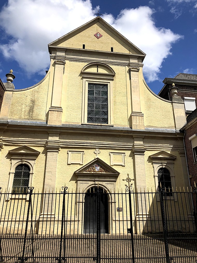
Photo: Daamss, CC BY-SA 4.0.
Sint-Catharinacollege is a school, which is situated 350 metres northeast of Socatexken.
Wijngaardbrug
Bridge
 Wijngaardbrug is a bridge, which is situated 490 metres northeast of Socatexken.
Places in the Area
Nearby places include Everbeek and Deux-Acren.
Everbeek
Village

Photo: Spotter2, CC BY-SA 3.0.
Everbeek is a village situated in the Flemish Ardennes and in the Denderstreek in Belgium. In 1977, it was included into the municipality of Brakel. Although it is Dutch speaking, this village was part of the Walloon province of Hainaut until 1963, when it became part of the Flemish province of East Flanders. Everbeek is situated 4½ km west of Socatexken.
Deux-Acren
Village

Photo: Friedrich Tellberg, CC BY 2.5.
Deux-Acren is a village of Wallonia and a district of the municipality of Lessines, located in the province of Hainaut, Belgium. Deux-Acren is situated 4½ km south of Socatexken.
Idegem
Village

Photo: Johan Allard, CC BY 4.0.
Idegem is a village, which is situated 5 km northeast of Socatexken.
Socatexken
- Type: Clothing store
- Address: Stationsplein 25, Geraardsbergen, 9500
- Categories: building and shop
- Location: Geraardsbergen, Arrondissement of Aalst, East Flanders, Flanders, Belgium, Benelux, Europe
- View on OpenStreetMap
Latitude
50.77049° or 50° 46′ 14″ northLongitude
3.87365° or 3° 52′ 25″ eastOpen location code
9F25QVCF+5FOpenStreetMap ID
way 557486656OpenStreetMap feature
building=yesOpenStreetMap feature
shop=clothes
This page is based on OpenStreetMap, Wikidata, and Wikimedia Commons.
We’d love your help improving our open data sources. Thank you for contributing.
Satellite Map
Discover Socatexken from above in high-definition satellite imagery.
Notable Places Nearby
Highlights include Vredegerecht Geraardsbergen and Stationsplein.
Nearby Places
Explore places such as Aphrodite and Boogie Woogie.
East Flanders: Must-Visit Destinations
Delve into Ghent, Aalst, Sint-Niklaas, and Dendermonde.
Curious Clothing Stores to Discover
Uncover intriguing clothing stores from every corner of the globe.
About Mapcarta. Data © OpenStreetMap contributors and available under the Open Database License". Text is available under the CC BY-SA 4.0 license, except for photos, directions, and the map. Photo: Saber68, CC BY-SA 3.0.