Cemetery of San Zeno Naviglio
Cemetery of San Zeno Naviglio is a cemetery in Brescia, Lombardian Alps and Prealps, Lombardy. Cemetery of San Zeno Naviglio is situated nearby to Cemetery of Folzano, as well as near San Zeno-Folzano railway station.| Tap on a place to explore it |
- Type: Cemetery
- Description: cemetery in the Italian municipality of San Zeno Naviglio
- Also known as: “cemetery of San Zeno Naviglio” and “Cimitero di San Zeno Naviglio”
Places of Interest Nearby
Highlights include San Zeno-Folzano railway station and Church of Saint Sylvester.
San Zeno-Folzano railway station
Railway station

Photo: Moliva, CC BY-SA 3.0.
San Zeno-Folzano railway station is situated 230 metres east of Cemetery of San Zeno Naviglio.
Church of Saint Sylvester
Church

Photo: Moroder, CC BY-SA 3.0.
Church of Saint Sylvester is situated 510 metres northwest of Cemetery of San Zeno Naviglio.
Saint Zeno
Church

Photo: Moliva, CC BY-SA 3.0.
Saint Zeno is a church, which is situated 640 metres east of Cemetery of San Zeno Naviglio.
Places in the Area
Nearby places include Piffione and Gerole.
Piffione
Hamlet
Piffione is a hamlet of Borgosatollo, an Italian small village in the province of Brescia, in Lombardy.
Gerole
Hamlet
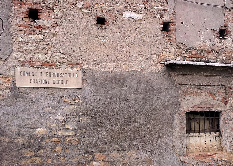
Photo: Julian Hallon, CC BY-SA 3.0.
Gerole is a hamlet, which is situated 3 km east of Cemetery of San Zeno Naviglio.
Lamarmora
Suburb

Photo: Studio95, CC BY-SA 4.0.
Lamarmora is a suburb, which is situated 3½ km north of Cemetery of San Zeno Naviglio.
Cemetery of San Zeno Naviglio
- Category: burial
- Location: Brescia, Province of Brescia, Lombardian Alps and Prealps, Lombardy, Northwest Italy, Italy, Europe
- View on OpenStreetMap
Latitude
45.49079° or 45° 29′ 27″ northLongitude
10.20904° or 10° 12′ 33″ eastOpen location code
8FQGF6R5+8JOpenStreetMap ID
way 58324149OpenStreetMap feature
amenity=grave_yardWikidata ID
Q89479529
This page is based on OpenStreetMap, Wikidata, and Wikimedia Commons.
We’d love your help improving our open data sources. Thank you for contributing.
Satellite Map
Discover Cemetery of San Zeno Naviglio from above in high-definition satellite imagery.
In Other Languages
From German to Spanish—“Cemetery of San Zeno Naviglio” goes by many names.
- German: “Friedhof von San Zeno Naviglio”
- Italian: “cimitero di San Zeno Naviglio”
- Spanish: “cementerio de San Zeno Naviglio”
- Spanish: “Cementerio de San Zeno Naviglio”
Notable Places Nearby
Highlights include Cemetery of Folzano and Vittorio Mero.
Nearby Places
Explore places such as Via San Zeno Case Sparse and 33+577.
Lombardian Alps and Prealps: Must-Visit Destinations
Delve into Bergamo, Sondrio, Bormio, and Livigno.
Curious Cemeteries to Discover
Uncover intriguing cemeteries from every corner of the globe.
About Mapcarta. Data © OpenStreetMap contributors and available under the Open Database License". Text is available under the CC BY-SA 4.0 license, except for photos, directions, and the map. Photo: Moroder, CC BY-SA 3.0.