Parque del Abedul
Parque del Abedul is a park in Mexicali Municipality, Baja California. Parque del Abedul is situated nearby to the hospital Almater, as well as near the meadow Jardin Desertico.| Tap on a place to explore it |
Places in the Area
Nearby places include Mexicali and Bonds Corner.
Mexicali

Photo: Rosa Montelongo, CC BY-SA 4.0.
Mexicali is the capital of the state of Baja California in Mexico, directly across the border from Calexico, California, United States. Its proximity to the United States has made it a very popular tourist destination, especially for day-trippers.
Bonds Corner
Hamlet
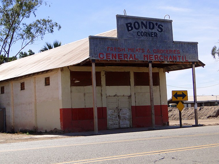
Photo: Cbl62, CC BY-SA 3.0.
Bonds Corner is an unincorporated community in Imperial County, California a short distance east of Calexico on California State Route 98 and north of the international border with Baja California. Bonds Corner is situated 8 km northeast of Parque del Abedul.
Parque del Abedul
- Type: Park
- Category: recreation area
- Location: Mexicali Municipality, Baja California, Baja California, Mexico, North America
- View on OpenStreetMap
Latitude
32.63181° or 32° 37′ 55″ northLongitude
-115.38473° or 115° 23′ 5″ westOpen location code
8546JJJ8+P4OpenStreetMap ID
way 622841092OpenStreetMap feature
leisure=park
This page is based on OpenStreetMap, Wikidata, and Wikimedia Commons.
We’d love your help improving our open data sources. Thank you for contributing.
Satellite Map
Discover Parque del Abedul from above in high-definition satellite imagery.
Notable Places Nearby
Highlights include Almater and Jardin Desertico.
Nearby Places
Explore places such as BBVA Bancomer and Oxxo.
Baja California: Must-Visit Destinations
Delve into Tijuana, Mexicali, Valle de Guadalupe, and Ensenada.
Curious Parks to Discover
Uncover intriguing parks from every corner of the globe.
About Mapcarta. Data © OpenStreetMap contributors and available under the Open Database License". Text is available under the CC BY-SA 4.0 license, except for photos, directions, and the map. Photo: Eekiv, CC BY-SA 3.0.