Kampeerterrein 3: Het Bos
Kampeerterrein 3: Het Bos is a grassland in Beringen, Hasselt, Flanders. Kampeerterrein 3: Het Bos is situated nearby to the dog park Hondenlosloopzone, as well as near the community center Chirolokaal Fonteintje.| Tap on a place to explore it |
Places of Interest Nearby
Highlights include Grauwe Steen and Sint-Franciscusziekenhuis.
Grauwe Steen
Stone

Photo: Eebie, CC BY-SA 4.0.
Grauwe Steen is a stone, which is situated 1½ km southeast of Kampeerterrein 3: Het Bos.
Sint-Franciscusziekenhuis
Hospital
The Sint-Franciscusziekenhuis is a hospital located in the municipality of Heusden-Zolder in the province of Limburg, Flanders, Belgium. Sint-Franciscusziekenhuis is situated 3½ km south of Kampeerterrein 3: Het Bos.
Sint-Brigidakerk
Church

Photo: Paul Hermans, CC BY-SA 4.0.
Sint-Brigidakerk is a church, which is situated 4 km southwest of Kampeerterrein 3: Het Bos.
Places in the Area
Nearby places include Helchteren and Houthalen-Helchteren.
Helchteren
Village
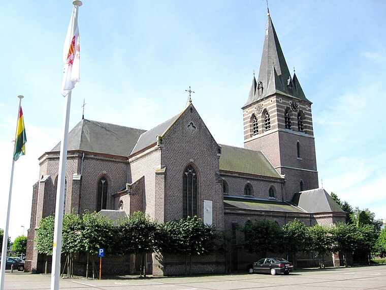
Photo: Sonuwe, CC BY-SA 3.0.
Helchteren is a village, which is situated 5 km southeast of Kampeerterrein 3: Het Bos.
Houthalen-Helchteren
Town

Photo: Sonuwe, CC BY-SA 3.0.
Houthalen-Helchteren is a municipality located in the Belgian province of Limburg. Houthalen-Helchteren consists of Houthalen-centrum, Houthalen-Oost, Helchteren, Sonnis, Laak, Meulenberg and Lillo. Houthalen-Helchteren is situated 6 km southeast of Kampeerterrein 3: Het Bos.
Leopoldsburg
Town

Photo: Sonuwe, CC BY-SA 3.0.
Leopoldsburg is a municipality located in the Belgian province of Limburg. On January 1, 2006, Leopoldsburg had a total population of 14,403. The total area is 22.49 km2 which gives a population density of 640 inhabitants per square kilometre. Leopoldsburg is situated 6 km northwest of Kampeerterrein 3: Het Bos.
Kampeerterrein 3: Het Bos
Latitude
51.07858° or 51° 4′ 43″ northLongitude
5.31769° or 5° 19′ 4″ eastOpen location code
9F3738H9+C3OpenStreetMap ID
way 659797156OpenStreetMap feature
landuse=grass
This page is based on OpenStreetMap, Wikidata, and Wikimedia Commons.
We’d love your help improving our open data sources. Thank you for contributing.
Satellite Map
Discover Kampeerterrein 3: Het Bos from above in high-definition satellite imagery.
Notable Places Nearby
Highlights include Hondenlosloopzone and Chirolokaal Fonteintje.
Nearby Places
Explore places such as Vallei van de Zwarte Beek: Koersels Kapelleke and Oma’s IJs.
Limburg: Must-Visit Destinations
Delve into Sint-Truiden, Tongeren, Genk, and Maasmechelen.
Curious Grasslands to Discover
Uncover intriguing grasslands from every corner of the globe.
About Mapcarta. Data © OpenStreetMap contributors and available under the Open Database License". Text is available under the CC BY-SA 4.0 license, except for photos, directions, and the map. Photo: Jeanhousen, CC BY 3.0.