Campsie High Park
Campsie High Park is a park in East Dunbartonshire, Scotland. Campsie High Park is situated nearby to Campsie-Lennoxtown Cemetery, as well as near the church Campsie High Kirk.| Tap on a place to explore it |
Places of Interest Nearby
Highlights include Lennoxtown training centre and Glorat House.
Lennoxtown training centre
Sports venue

Photo: Vintagekits, CC BY 3.0.
Lennoxtown Training Centre is Celtic's training centre, located at Lennoxtown, East Dunbartonshire in Scotland. The complex houses the club's training and educational facilities. Lennoxtown training centre is situated 1¼ miles west of Campsie High Park.
Glorat House
House
Glorat House is a 19th-century mansion house in East Dunbartonshire, Scotland. It is located in Milton of Campsie, in the former county of Stirlingshire. Glorat House is situated 3,800 feet east of Campsie High Park.
Places in the Area
Nearby places include Lennoxtown and Milton of Campsie.
Lennoxtown
Town

Photo: Dumgoyne, CC BY-SA 3.0.
Lennoxtown is a town in the East Dunbartonshire council area and the historic county of Stirlingshire, Scotland. The Campsie Fells are located to Lennoxtown's north. The town had a population of 4,094 at the 2011 UK census.
Milton of Campsie
Village

Photo: Wikimedia, Public domain.
Milton of Campsie is a village formerly in the county of Stirlingshire, but now in East Dunbartonshire, Scotland roughly 10 miles north of Glasgow. Nestling at the foot of the Campsie Fells, it is neighboured by Kirkintilloch and Lennoxtown. Milton of Campsie is situated 1½ miles southeast of Campsie High Park.
Torrance
Village
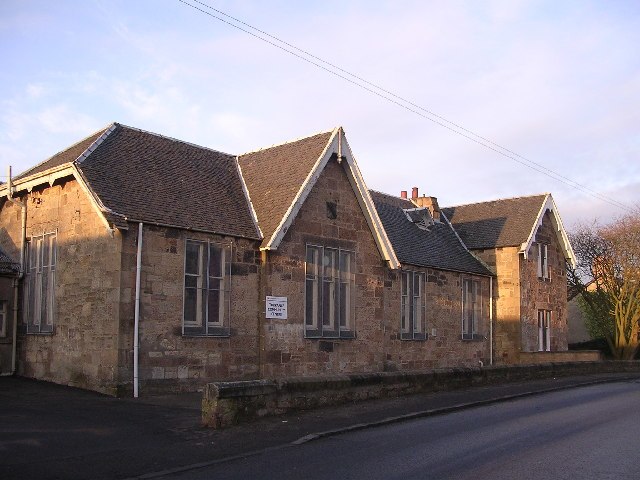
Photo: Chris Upson, CC BY-SA 2.0.
Torrance is a village in East Dunbartonshire, formerly Stirlingshire, Scotland, located eight miles north of Glasgow city centre. Torrance used to mainly consist of farmland. Torrance is situated 2½ miles south of Campsie High Park.
Campsie High Park
- Type: Park
- Category: recreation area
- Location: East Dunbartonshire, Scotland, United Kingdom, Britain and Ireland, Europe
- View on OpenStreetMap
Latitude
55.97641° or 55° 58′ 35″ northLongitude
-4.19656° or 4° 11′ 48″ westOperator
East Dunbartonshire CouncilOpen location code
9C7QXRG3+H9OpenStreetMap ID
way 739061888OpenStreetMap feature
leisure=park
This page is based on OpenStreetMap, Wikidata, and Wikimedia Commons.
We’d love your help improving our open data sources. Thank you for contributing.
Satellite Map
Discover Campsie High Park from above in high-definition satellite imagery.
Notable Places Nearby
Highlights include Campsie-Lennoxtown Cemetery and Campsie High Kirk.
Nearby Places
Explore places such as War Memorial Cairn and St Machan’s Primary School.
Scotland: Must-Visit Destinations
Delve into Edinburgh, Glasgow, Aberdeen, and Dundee.
Curious Parks to Discover
Uncover intriguing parks from every corner of the globe.
About Mapcarta. Data © OpenStreetMap contributors and available under the Open Database License". Text is available under the CC BY-SA 4.0 license, except for photos, directions, and the map. Photo: Ritchyblack, FAL.