BEGOS 1. Kısım
BEGOS 1. Kısım is in Buca District, İzmir Province. BEGOS 1. Kısım is situated nearby to the metro station D.E.Ü. Tınaztepe Kampüsü, as well as near the community center Tarık Akan Gençlik Merkezi.| Tap on a place to explore it |
Places of Interest Nearby
Highlights include D.E.Ü. Tınaztepe Kampüsü and Hasanağa Bahçesi.
D.E.Ü. Tınaztepe Kampüsü
Metro station
D.E.Ü. Tınaztepe Kampüsü is a proposed underground station on the Üçyol—Fuar İzmir Line of the İzmir Metro. It will be located beneath Doğuş Avenue in southeast Buca, next to the Dokuz Eylül University's Tınaztepe campus. D.E.Ü. Tınaztepe Kampüsü is situated 330 metres south of BEGOS 1. Kısım.
Hasanağa Bahçesi
Metro station

Photo: Alikam1896, CC BY-SA 4.0.
Hasanağa Bahçesi is a proposed underground station on the Üçyol—Fuar İzmir Line of the İzmir Metro. It will be located beneath Erdem Avenue in Buca. Construction of the station, along with the metro line, began in 2024. Hasanağa Bahçesi is situated 1 km west of BEGOS 1. Kısım.
Baptist Church
Church

Photo: Wikimedia, Public domain.
Baptist Church is situated 1½ km northwest of BEGOS 1. Kısım.
Places in the Area
Nearby places include Buca and Altındağ.
Buca
Town
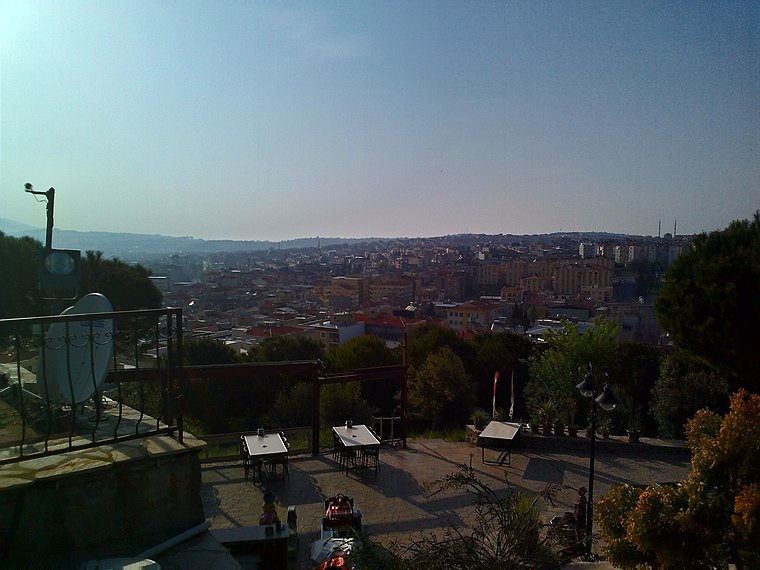
Photo: İncelemeelemani, CC BY-SA 3.0.
Buca is a municipality and district of İzmir Province, Turkey. Its area is 178 km2, and its population is 523,193. It is the biggest district of İzmir Province as terms of population.
Altındağ
Quarter
Altındağ is a densely populated zone of İzmir's Bornova district. The main intercity bus terminal of İzmir - IZOTAŞ is situated in Altındağ's Işıkkent quarter and is minutes away from Altındağ centre on foot. Altındağ is situated 4½ km north of BEGOS 1. Kısım.
Karabağlar
Town

Photo: ümit tomar, CC BY 3.0.
Karabağlar is a municipality and district of İzmir Province, Turkey. Its area is 89 km2, and its population is 479,338. It is the second biggest district of İzmir Province as terms of population. Karabağlar is situated 6 km west of BEGOS 1. Kısım.
BEGOS 1. Kısım
- Type: Industry
- Location: Buca District, İzmir Province, Turkey, Middle East, Asia
- View on OpenStreetMap
Latitude
38.37903° or 38° 22′ 45″ northLongitude
27.19044° or 27° 11′ 26″ eastOpen location code
8GC995HR+J5OpenStreetMap ID
way 759940687OpenStreetMap feature
landuse=industrial
This page is based on OpenStreetMap, Wikidata, and Wikimedia Commons.
We’d love your help improving our open data sources. Thank you for contributing.
Satellite Map
Discover BEGOS 1. Kısım from above in high-definition satellite imagery.
Notable Places Nearby
Highlights include Tarık Akan Gençlik Merkezi and Buca Orman Genel Müdürlüğü.
Nearby Places
Explore places such as BEGOS and İzmir Kız Yurdu.
Turkey: Must-Visit Destinations
Delve into Istanbul, Edirne, Ankara, and Izmir.
Curious Places to Discover
Uncover intriguing places from every corner of the globe.
About Mapcarta. Data © OpenStreetMap contributors and available under the Open Database License". Text is available under the CC BY-SA 4.0 license, except for photos, directions, and the map. Photo: Moonik, CC BY-SA 3.0.