Torre di Briosco
Torre di Briosco is a tower in Briosco, Province of Monza and Brianza, Lombardy. Torre di Briosco is situated nearby to the town hall Municipio, as well as near the church Chiesa dei Santi Ambrogio e Vittore.| Tap on a place to explore it |
Places of Interest Nearby
Highlights include Carugo-Giussano railway halt and Santi Pietro e Paolo, Agliate.
Carugo-Giussano railway halt
Railway station
 Carugo-Giussano railway halt is a railway station, which is situated 3 km west of Torre di Briosco.
Santi Pietro e Paolo, Agliate
Church

Photo: Sette-quattro, CC BY-SA 4.0.
Santi Pietro e Paolo is a Romanesque-style, Roman Catholic basilica church in the frazione of Agliate of Carate Brianza, province of Monza and Brianza, region of Lombardy, Italy. Santi Pietro e Paolo, Agliate is situated 2½ km south of Torre di Briosco.
Besana railway station
Railway station
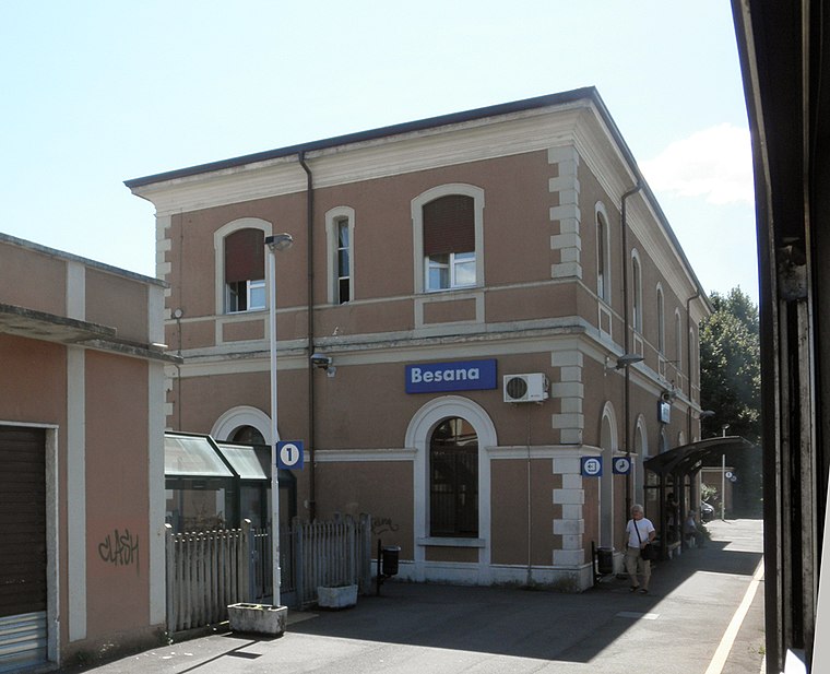
Photo: Arbalete, CC BY-SA 3.0.
Besana railway station is a railway station in Italy. Located on the Monza–Molteno railway, it serves the municipality of Besana Brianza in Lombardy as its main station. The train services are operated by Trenord. Besana railway station is situated 4 km east of Torre di Briosco.
Places in the Area
Nearby places include Vergo Zoccorino and Giussano.

Giussano
Town

Photo: Zhang Yuan, CC BY 3.0.
Giussano is a comune in the province of Monza and Brianza, in the Italian region Lombardy, located about 25 kilometres north of Milan. Giussano borders the following municipalities: Inverigo, Carugo, Arosio, Briosco, Mariano Comense, Carate Brianza, Verano Brianza, Seregno.

Torre di Briosco
- Type: Tower
- Category: building
- Location: Briosco, Province of Monza and Brianza, Lombardy, Northwest Italy, Italy, Europe
- View on OpenStreetMap
Latitude
45.70913° or 45° 42′ 33″ northLongitude
9.23421° or 9° 14′ 3″ eastOpen location code
8FQFP65M+MMOpenStreetMap ID
way 766058375OpenStreetMap feature
building=yesOpenStreetMap feature
man_made=tower
This page is based on OpenStreetMap, Wikidata, and Wikimedia Commons.
We’d love your help improving our open data sources. Thank you for contributing.
Satellite Map
Discover Torre di Briosco from above in high-definition satellite imagery.
Notable Places Nearby
Highlights include Municipio and Chiesa dei Santi Ambrogio e Vittore.
Nearby Places
Explore places such as Torre di Briosco and Farmacia Comunale.
Lombardy: Must-Visit Destinations
Delve into Milan, Bergamo, Brescia, and Mantua.
Curious Towers to Discover
Uncover intriguing towers from every corner of the globe.
About Mapcarta. Data © OpenStreetMap contributors and available under the Open Database License". Text is available under the CC BY-SA 4.0 license, except for photos, directions, and the map. Photo: Paul Arps, CC BY 2.0.