Smoking Area
Smoking Area is a building in Elmbridge District, Surrey, England. Smoking Area is situated nearby to the library Study Area, as well as near Esher Sixth Form College.| Tap on a place to explore it |
Places of Interest Nearby
Highlights include Esher Sixth Form College and Thames Ditton railway station.
Esher Sixth Form College
College
Esher Sixth Form College is an open access, non-selective 16-19 Academy located in Thames Ditton, Surrey, England. Rated as "outstanding" in September 2022 by Ofsted, it now has around 2100 students enrolled, with a catchment drawn from north Surrey and southwest London. Esher Sixth Form College is situated 350 feet north of Smoking Area.
Thames Ditton railway station
Railway station

Photo: Sunil060902, CC BY-SA 3.0.
Thames Ditton railway station serves Thames Ditton in the Elmbridge district of Surrey, England. It is the only intermediate station on the Hampton Court branch line, 14 miles 1 chain down the line from London Waterloo. Thames Ditton railway station is situated 1,200 feet northeast of Smoking Area.
Dittons Library
Library

Photo: Hassocks5489, CC0.
Dittons Library is situated 2,200 feet east of Smoking Area.
Places in the Area
Nearby places include Thames Ditton and Hinchley Wood.
Thames Ditton
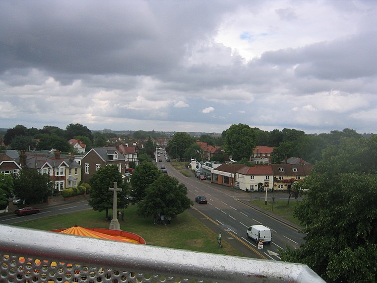
Photo: Gavin Wilson, Public domain.
Thames Ditton is a large suburban village on the River Thames, in the Elmbridge borough of Surrey, England. Apart from a large inhabited island in the river, it lies on the southern bank, centred 12.2 miles south-west of Charing Cross in central London.
Hinchley Wood
Suburb

Photo: Dr Neil Clifton, CC BY-SA 2.0.
Hinchley Wood is a suburban district in the Elmbridge borough of Surrey, England, approximately 13 miles south-west of Charing Cross in central London, and within the Greater London Urban Area.
Long Ditton
Suburb

Photo: steve, CC BY-SA 2.0.
Long Ditton is a residential suburb in the borough of Elmbridge, Surrey, England on the boundary with the Royal Borough of Kingston upon Thames, London.
Smoking Area
- Type: Building
- Location: Elmbridge District, Surrey, South East England, England, United Kingdom, Britain and Ireland, Europe
- View on OpenStreetMap
Latitude
51.38739° or 51° 23′ 15″ northLongitude
-0.34363° or 0° 20′ 37″ westOpen location code
9C3X9MP4+XGOpenStreetMap ID
way 769050780OpenStreetMap feature
building=yes
This page is based on OpenStreetMap, Wikidata, and Wikimedia Commons.
We’d love your help improving our open data sources. Thank you for contributing.
Satellite Map
Discover Smoking Area from above in high-definition satellite imagery.
Places with the Same Name
Discover other places named “Smoking Area”.
Notable Places Nearby
Highlights include Study Area and Thames Ditton Lawn Tennis Club.
Nearby Places
Explore places such as Cafe@Esher and Costa.
Surrey: Must-Visit Destinations
Delve into Guildford, Woking, Godalming, and Epsom.
Curious Buildings to Discover
Uncover intriguing buildings from every corner of the globe.
About Mapcarta. Data © OpenStreetMap contributors and available under the Open Database License". Text is available under the CC BY-SA 4.0 license, except for photos, directions, and the map. Photo: Wikimedia, CC0.