Centro social popular ‘Ignacio Zaragoza’
Centro social popular ‘Ignacio Zaragoza’ is a building in Mexico City, Central Mexico which is located on Tte. Javier Martínez Valle. Centro social popular ‘Ignacio Zaragoza’ is situated nearby to the park Explanada Arte/cultura Fausto Vega, as well as near the theater building Teatro Fausto Vega.| Tap on a place to explore it |
Places of Interest Nearby
Highlights include Escuadrón 201 metro station and Aculco metro station.
Escuadrón 201 metro station
Metro station
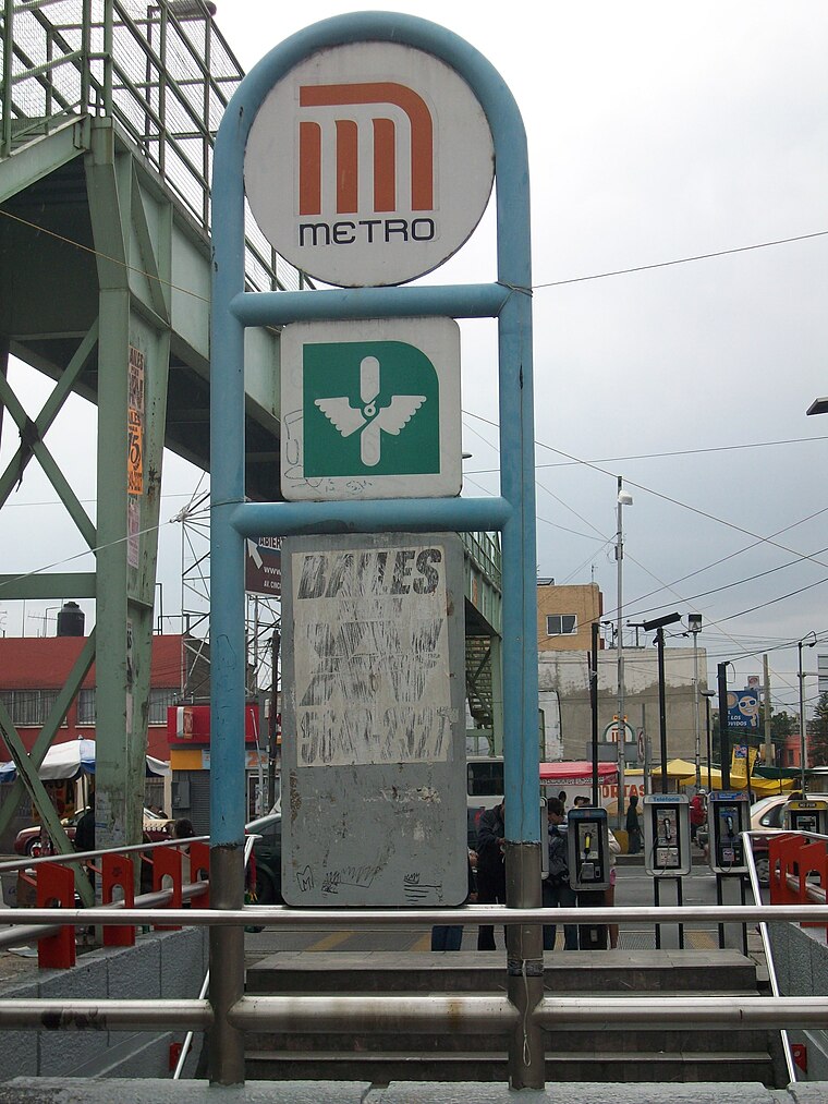
Photo: GAED, CC BY-SA 3.0.
Escuadrón 201 is a metro station in Mexico City, Mexico. It is located in the city's eastern Iztapalapa borough, close to the intersection of Eje 3 Oriente and Eje 8 Sur. Escuadrón 201 metro station is situated 220 metres southeast of Centro social popular ‘Ignacio Zaragoza’.
Aculco metro station
Metro station

Photo: Dge, CC BY-SA 3.0.
Aculco is a station along Line 8 of the metro of Mexico City. It is located under the bridge where the Trabajadoras Sociales passes over the Eje 3 Ote in the Colonia Pueblo Aculco neighborhood of the Iztapalapa borough of Mexico City. Aculco metro station is situated 790 metres north of Centro social popular ‘Ignacio Zaragoza’.
Apatlaco metro station
Metro station

Photo: Dge, CC BY-SA 3.0.
Apatlaco is a station along Line 8 of the metro of Mexico City. The station's logo is a house with hot water and steam inside of it. Apatlaco is a Nahuatl word that means "place of medicinal baths". Apatlaco metro station is situated 1½ km north of Centro social popular ‘Ignacio Zaragoza’.
Places in the Area
Nearby places include Iztapalapa and Pueblo Culhuacán.
Iztapalapa

Photo: Pancho Cárdenas, CC BY-SA 3.0.
Iztapalapa is in the eastern part of Mexico City. It is a rough and tumble area that is the most populous borough in the city, as well as the poorest, and most crime-ridden.
Pueblo Culhuacán
Quarter

Photo: Thelmadatter, CC BY-SA 3.0.
Pueblo Culhuacán is an officially designated neighborhood of the Iztapalapa borough of Mexico City, which used to be a major pre-Hispanic city. Ancient Culhuacán was founded around 600 CE and the site has been continuously occupied since. Pueblo Culhuacán is situated 3 km south of Centro social popular ‘Ignacio Zaragoza’.
Churubusco
Quarter

Photo: Adolphe Jean-Baptiste Bayot, Public domain.
Churubusco is a neighbourhood of Mexico City. Under the current territorial division of the Mexican Federal District, it is a part of the borough of Coyoacán. Churubusco is situated 4 km west of Centro social popular ‘Ignacio Zaragoza’.
Centro social popular ‘Ignacio Zaragoza’
- Type: Building
- Address: S/N Tte. Javier Martínez Valle, Escuadrón 201, Iztapalapa, 09060
- Location: Mexico City, Central Mexico, Mexico, North America
- View on OpenStreetMap
Latitude
19.36669° or 19° 22′ 0″ northLongitude
-99.11041° or 99° 6′ 38″ westLevels
6Open location code
76F29V8Q+MROpenStreetMap ID
way 790790501OpenStreetMap feature
building=yes
This page is based on OpenStreetMap, Wikidata, and Wikimedia Commons.
We’d love your help improving our open data sources. Thank you for contributing.
Satellite Map
Discover Centro social popular ‘Ignacio Zaragoza’ from above in high-definition satellite imagery.
Notable Places Nearby
Highlights include Explanada Arte/cultura Fausto Vega and Teatro Fausto Vega.
Nearby Places
Explore places such as Cendi No. 26 Erique Pestalozzi and Teatro Fausto Vega.
Mexico City: Must-Visit Destinations
Delve into Centro, Xochimilco, Coyoacán, and Condesa and Roma.
Curious Buildings to Discover
Uncover intriguing buildings from every corner of the globe.
About Mapcarta. Data © OpenStreetMap contributors and available under the Open Database License". Text is available under the CC BY-SA 4.0 license, except for photos, directions, and the map. Photo: Wikimedia, CC BY 2.0.