Whiteabbey WwPS
Whiteabbey WwPS is a wastewater treatment plant in Antrim and Newtownabbey, Northern Ireland. Whiteabbey WwPS is situated nearby to Whiteabbey Methodist Church, as well as near Whiteabbey Congregational Church.| Tap on a place to explore it |
Places of Interest Nearby
Highlights include Jordanstown railway station and Whiteabbey railway station.
Jordanstown railway station
Railway station
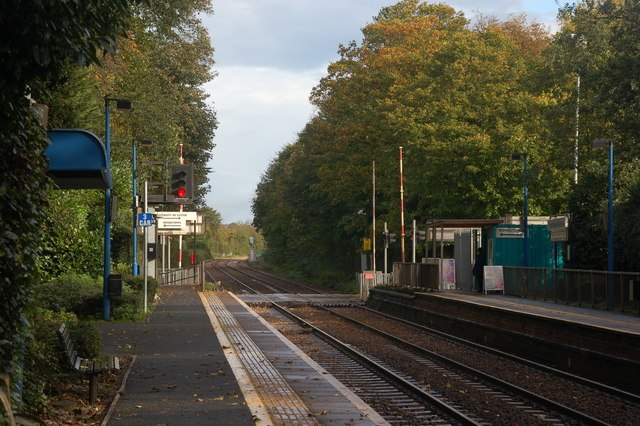
Photo: Albert Bridge, CC BY-SA 2.0.
Jordanstown railway station serves Jordanstown and the University of Ulster in Newtownabbey, Northern Ireland. A park and ride facility for the station has been proposed to ease congestion on the main Jordanstown Road. Jordanstown railway station is situated 4,100 feet north of Whiteabbey WwPS.
Whiteabbey railway station
Railway stop
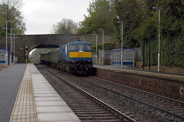
Photo: Wilson Adams, CC BY-SA 2.0.
Whiteabbey Railway Station serves the village of Whiteabbey in Newtownabbey, Northern Ireland. Whiteabbey railway station is situated 2,500 feet southwest of Whiteabbey WwPS.
Whiteabbey Hospital
Hospital
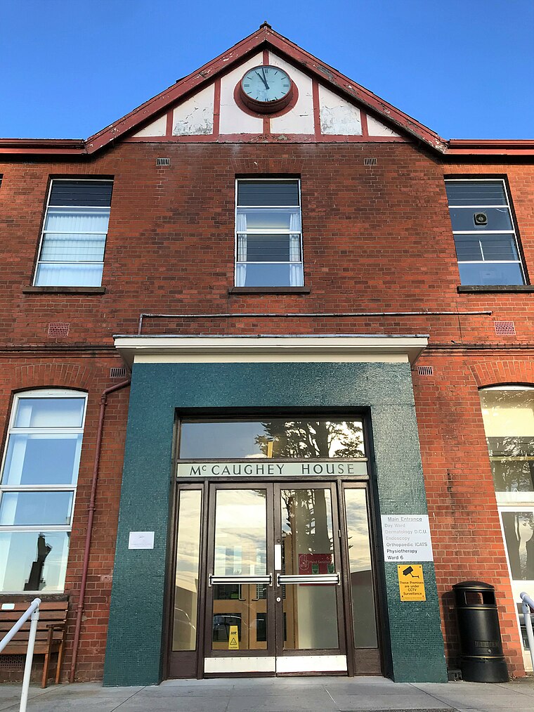
Photo: Mckyj, CC BY-SA 4.0.
Whiteabbey Hospital is a hospital located close to the village of Whiteabbey, within the town of Newtownabbey, Northern Ireland. The hospital first opened in 1907 as The Abbey Sanitorium, centred around a country house known as 'The Abbey'. Whiteabbey Hospital is situated 3,500 feet southwest of Whiteabbey WwPS.
Places in the Area
Nearby places include Jordanstown and Newtownabbey.
Jordanstown
Suburb
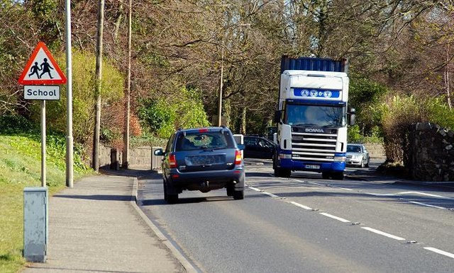
Photo: Albert Bridge, CC BY-SA 2.0.
Jordanstown is a townland and electoral ward in County Antrim, Northern Ireland. It is within the urban area of Newtownabbey and the Antrim and Newtownabbey Borough Council area.
Newtownabbey

Photo: Pastor Sam, CC BY 3.0.
Newtownabbey is a district just north of Belfast. It's short of tourist sights and facilities, and you'd only come here for business or to attend the university.
Holywood

Photo: Ardfern, CC BY-SA 3.0.
Holywood is a town five miles northeast of Belfast. It's historically in County Down, but since 2015 has been governed as part of Ards and North Down District, along with Bangor and Newtownards.
Whiteabbey WwPS
- Type: Wastewater treatment plant
- Category: industry
- Location: Antrim and Newtownabbey, Northern Ireland, United Kingdom, Britain and Ireland, Europe
- View on OpenStreetMap
Latitude
54.67602° or 54° 40′ 34″ northLongitude
-5.89463° or 5° 53′ 41″ westOperator
Northern Ireland WaterOpen location code
9C6PM4G4+C4OpenStreetMap ID
way 860029911OpenStreetMap feature
man_made=wastewater_plant
This page is based on OpenStreetMap, Wikidata, and Wikimedia Commons.
We’d love your help improving our open data sources. Thank you for contributing.
Satellite Map
Discover Whiteabbey WwPS from above in high-definition satellite imagery.
Notable Places Nearby
Highlights include Whiteabbey Methodist Church and Whiteabbey Congregational Church.
Nearby Places
Explore places such as Glen Park and Apache Pizza.
Northern Ireland: Must-Visit Destinations
Delve into Belfast, Derry, Giant’s Causeway, and Armagh.
Curious Wastewater Treatment Plants to Discover
Uncover intriguing wastewater treatment plants from every corner of the globe.
About Mapcarta. Data © OpenStreetMap contributors and available under the Open Database License". Text is available under the CC BY-SA 4.0 license, except for photos, directions, and the map. Photo: Chmee2, CC BY 3.0.