Sint-Leonarduskapel
Sint-Leonarduskapel is a church in Houthalen-Helchteren, Arrondissement of Maaseik, Flanders which is located on Sint-Leonardusstraat. Sint-Leonarduskapel is situated nearby to the community center Chiro Meulenberg, as well as near Zaal Berkenveld.| Tap on a place to explore it |
- Type: Church
- Denomination: Roman Catholic
- Address: Sint-Leonardusstraat 12
Places of Interest Nearby
Highlights include Sint-Lambertuskerk and Coal Mine of Houthalen.
Sint-Lambertuskerk
Church

Photo: Paul Hermans, CC BY-SA 3.0.
Sint-Lambertuskerk is a church, which is situated 1 km southwest of Sint-Leonarduskapel.
Coal Mine of Houthalen

Photo: Les Meloures, GFDL.
Coal Mine of Houthalen is situated 2½ km west of Sint-Leonarduskapel.
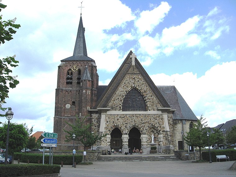
Onze-Lieve-Vrouw-van-Zeven-Weeënkerk
Community center
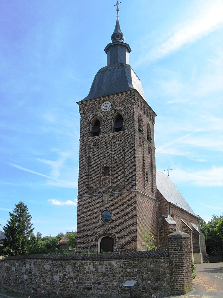
Photo: Sonuwe, CC BY-SA 3.0.
Onze-Lieve-Vrouw-van-Zeven-Weeënkerk is a community center, which is situated 2½ km northwest of Sint-Leonarduskapel.
Places in the Area
Nearby places include Houthalen and Houthalen-Helchteren.
Houthalen-Helchteren
Town

Photo: Sonuwe, CC BY-SA 3.0.
Houthalen-Helchteren is a municipality located in the Belgian province of Limburg. Houthalen-Helchteren consists of Houthalen-centrum, Houthalen-Oost, Helchteren, Sonnis, Laak, Meulenberg and Lillo. Houthalen-Helchteren is situated 3 km northwest of Sint-Leonarduskapel.
Helchteren
Village
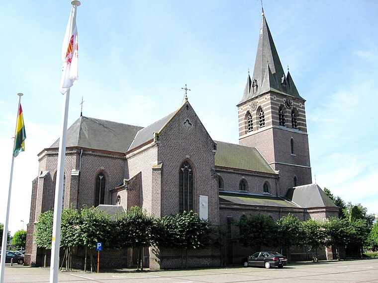
Photo: Sonuwe, CC BY-SA 3.0.
Helchteren is a village, which is situated 3½ km northwest of Sint-Leonarduskapel.
Sint-Leonarduskapel
- Categories: building, chapel, historic site, place of worship, and religion
- Location: Houthalen-Helchteren, Arrondissement of Maaseik, Limburg, Flanders, Belgium, Benelux, Europe
- View on OpenStreetMap
Latitude
51.02839° or 51° 1′ 42″ northLongitude
5.40456° or 5° 24′ 16″ eastInception
1952Open location code
9F372CH3+9ROpenStreetMap ID
way 876338759OpenStreetMap feature
amenity=place_of_worshipOpenStreetMap feature
building=chapelOpenStreetMap feature
historic=yesOpenStreetMap attribute
denomination=roman_catholic
This page is based on OpenStreetMap, Wikidata, and Wikimedia Commons.
We’d love your help improving our open data sources. Thank you for contributing.
Satellite Map
Discover Sint-Leonarduskapel from above in high-definition satellite imagery.
Places with the Same Name
Discover other places named “Sint-Leonarduskapel”.
Notable Places Nearby
Highlights include Chiro Meulenberg and Zaal Berkenveld.
Nearby Places
Explore places such as Houthalen Kwalaak and Vrije Basisschool Arkades.
Limburg: Must-Visit Destinations
Delve into Sint-Truiden, Hasselt, Tongeren, and Genk.
Curious Churches to Discover
Uncover intriguing churches from every corner of the globe.
About Mapcarta. Data © OpenStreetMap contributors and available under the Open Database License". Text is available under the CC BY-SA 4.0 license, except for photos, directions, and the map. Photo: Paul Hermans, CC BY-SA 3.0.