Hospitalhagen
Hospitalhagen is a garden in Oslo Municipality, Oslo, Innlandet. Hospitalhagen is situated nearby to Gamlebyen Church, as well as near the religious building Gråsteinsbygningen.| Tap on a place to explore it |
Places of Interest Nearby
Highlights include Oslo Hospital and Gamlebyen Church.

Gamlebyen Church
Church

Photo: PaulVIF, CC BY-SA 3.0.
Gamlebyen Church is a private church, belonging to Oslo University Hospital and is also called Oslo Hospital's Church, located in the old town of Oslo, Norway.
Munch Museum
Museum
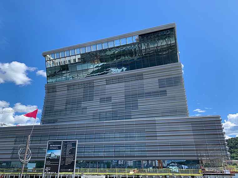
Photo: Annikdance, CC BY-SA 4.0.
Munch Museum, marketed as Munch since 2020, is an art museum in Bjørvika, Oslo, Norway dedicated to the life and works of the Norwegian artist Edvard Munch. Munch Museum is situated 1 km northwest of Hospitalhagen.
Places in the Area
Nearby places include Old Town and Arctanderbyen.
Old Town
Suburb
The Old Town of Oslo is a neighbourhood in the inner city of Oslo, Norway, belonging to the borough of Gamle Oslo and is the oldest urban area within the current capital.

Galgeberg
Suburb

Photo: Mahlum, Public domain.
Galgeberg is a neighbourhood in the borough of Gamle Oslo in Oslo, Norway. The neighbourhood lies near Vålerenga, Kampen and Gamlebyen. The name stems from the gallows present at the location in earlier times.
Hospitalhagen
- Type: Garden
- Category: recreation area
- Location: Oslo Municipality, Oslo, Oslo region, East Norway, Alvdal, Innlandet, Norway, Nordic countries, Europe
- View on OpenStreetMap
Latitude
59.90266° or 59° 54′ 10″ northLongitude
10.76913° or 10° 46′ 9″ eastOpen location code
9FFGWQ39+3MOpenStreetMap ID
way 878741678OpenStreetMap feature
leisure=garden
This page is based on OpenStreetMap, Wikidata, and Wikimedia Commons.
We’d love your help improving our open data sources. Thank you for contributing.
Satellite Map
Discover Hospitalhagen from above in high-definition satellite imagery.
Places with the Same Name
Discover other places named “Hospitalhagen”.
Notable Places Nearby
Highlights include Gråsteinsbygningen and Den Etiopiske Ortodokse kirke.
Nearby Places
Explore places such as Johan Scharffenberg 1869 - 1965 and Ekebergportalen.
Oslo: Must-Visit Destinations
Delve into Sentrum, North Oslo, Inner North, and Inner East.
Curious Gardens to Discover
Uncover intriguing gardens from every corner of the globe.
About Mapcarta. Data © OpenStreetMap contributors and available under the Open Database License". Text is available under the CC BY-SA 4.0 license, except for photos, directions, and the map. Photo: Krakers, CC BY-SA 4.0.