6th Form Block
6th Form Block is a building in Maidstone, Kent, England. 6th Form Block is situated nearby to Maidstone Grammar School, as well as near the park Collis (Millennium Green).| Tap on a place to explore it |
Places of Interest Nearby
Highlights include Maidstone Grammar School and St Philip’s Church.
Maidstone Grammar School
School
Maidstone Grammar School is a grammar school in Maidstone, England. The school was founded in 1549 after Protector Somerset sold Corpus Christi Hall on behalf of King Edward VI to the people of Maidstone for £200.
St Philip’s Church
Church

Photo: N Chadwick, CC BY-SA 2.0.
St Philip’s Church is situated 1,000 feet northwest of 6th Form Block.
The Mall Maidstone
Shopping center

Photo: Stacey Harris, CC BY-SA 2.0.
The Mall Maidstone is a covered shopping centre in Maidstone, the county town of Kent. The centre has 535,000 square feet of floor space, ranking it as the joint 60th largest shopping centre in the UK according to a 2008 survey by Retail Week. The Mall Maidstone is situated 3,100 feet northwest of 6th Form Block.
Places in the Area
Nearby places include Grove Green and Penenden Heath.
Grove Green
Hamlet

Photo: Oast House Archive, CC BY-SA 2.0.
Grove Green is a suburban housing development, partially forming a part of Weavering village, near the town of Maidstone in Kent, England. The population of the development is included in the civil parish of Boxley.
Penenden Heath
Village
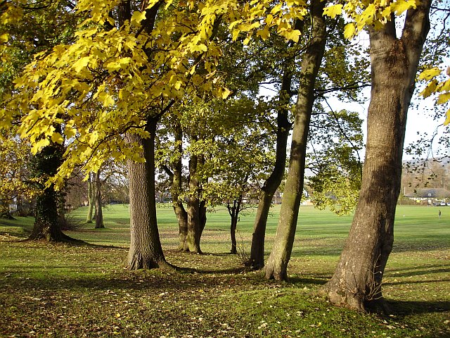
Photo: Penny Mayes, CC BY-SA 2.0.
Penenden Heath is a suburb of the town of Maidstone in the English county of Kent. As the name suggests, it was developed on an area of heathland, an area of which remains as a recreation ground with some woodland. Penenden Heath is situated 1½ miles north of 6th Form Block.
Ringlestone
Suburb
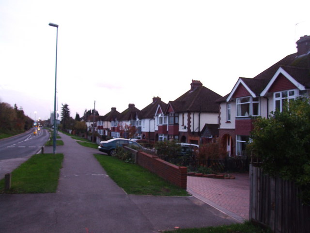
Photo: Chris Whippet, CC BY-SA 2.0.
Ringlestone is a suburb and housing estate in the town of Maidstone, Kent, England. It is on the eastern side of the River Medway, near Allington, 1.2 miles north of Maidstone town centre. Ringlestone is situated 2 miles northwest of 6th Form Block.
6th Form Block
- Type: Building
- Location: Maidstone, Kent, South East England, England, United Kingdom, Britain and Ireland, Europe
- View on OpenStreetMap
Latitude
51.26559° or 51° 15′ 56″ northLongitude
0.53209° or 0° 31′ 56″ eastOpen location code
9F327G8J+6ROpenStreetMap ID
way 880696229OpenStreetMap feature
building=yes
This page is based on OpenStreetMap, Wikidata, and Wikimedia Commons.
We’d love your help improving our open data sources. Thank you for contributing.
Satellite Map
Discover 6th Form Block from above in high-definition satellite imagery.
Places with the Same Name
Discover other places named “6th Form Block”.
Notable Places Nearby
Highlights include Collis (Millennium Green) and The Mote Cricket Club.
Nearby Places
Explore places such as Cucina and CCF.
Kent: Must-Visit Destinations
Delve into Canterbury, Dover, Rochester, and Folkestone.
Curious Buildings to Discover
Uncover intriguing buildings from every corner of the globe.
About Mapcarta. Data © OpenStreetMap contributors and available under the Open Database License". Text is available under the CC BY-SA 4.0 license, except for photos, directions, and the map. Photo: Diliff, CC BY-SA 4.0.