Parco Antonella Iasilli
Parco Antonella Iasilli is a park in Rescaldina, Province of Milan, Lombardy. Parco Antonella Iasilli is situated nearby to the police station Comando Stazione Carabinieri Rescaldina, as well as near the park Parco Via Montello.| Tap on a place to explore it |
Places of Interest Nearby
Highlights include Rescaldina railway station and Madonna della Neve Sanctuary.
Rescaldina railway station
Railway station

Photo: Wikimedia, Public domain.
Rescaldina railway station is situated 390 metres southwest of Parco Antonella Iasilli.
Madonna della Neve Sanctuary
Church

Photo: Paolo Monti, CC BY-SA 4.0.
Madonna della Neve Sanctuary is a church, which is situated 580 metres southwest of Parco Antonella Iasilli.
Santa Maria Assunta Church
Church

Photo: Wikimedia, Public domain.
Santa Maria Assunta Church is situated 1 km northwest of Parco Antonella Iasilli.
Places in the Area
Nearby places include Rescalda and Massina.
Massina
Village
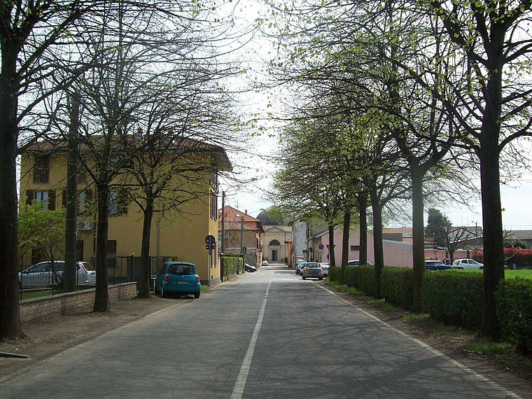
Photo: Adelchi, CC BY-SA 3.0.
Massina is a village, which is situated 3 km northeast of Parco Antonella Iasilli.
Cerro Maggiore
Town

Photo: Pino alpino, Public domain.
Cerro Maggiore is a comune in the Province of Milan in the Italian region Lombardy, located about 20 kilometres northwest of Milan. On 25 August 1946 Benito Mussolini's corpse was hidden in the town, remaining here until 30 August 1957. Cerro Maggiore is situated 3½ km south of Parco Antonella Iasilli.
Parco Antonella Iasilli
- Opening hours: 24/7
- Type: Park
- Category: recreation area
- Location: Rescaldina, Province of Milan, Lombardy, Northwest Italy, Italy, Europe
- View on OpenStreetMap
Latitude
45.62486° or 45° 37′ 30″ northLongitude
8.94976° or 8° 56′ 59″ eastOpen location code
8FQCJWFX+WWOpenStreetMap ID
way 880968654OpenStreetMap feature
leisure=park
This page is based on OpenStreetMap, Wikidata, and Wikimedia Commons.
We’d love your help improving our open data sources. Thank you for contributing.
Satellite Map
Discover Parco Antonella Iasilli from above in high-definition satellite imagery.
Notable Places Nearby
Highlights include Comando Stazione Carabinieri Rescaldina and Parco Via Montello.
Nearby Places
Explore places such as CAP Holding S.p.A. and Rescaldina - Via De Gasperi ang. Via Moro.
Lombardy: Must-Visit Destinations
Delve into Milan, Bergamo, Brescia, and Mantua.
Curious Parks to Discover
Uncover intriguing parks from every corner of the globe.
About Mapcarta. Data © OpenStreetMap contributors and available under the Open Database License". Text is available under the CC BY-SA 4.0 license, except for photos, directions, and the map. Photo: Paul Arps, CC BY 2.0.