Damershof
Damershof is a building in Limburg, Flanders which is located on Damerstraat. Damershof is situated nearby to the archaeological site Schuylenborg mot, as well as near the forest Bollebos.| Tap on a place to explore it |
- Type: Building
- Also known as: “Damreis”
- Address: Damerstraat 1, Bilzen, 3740
Places of Interest Nearby
Highlights include Sint-Gertrudiskerk and Waterkasteel van Schoonbeek.
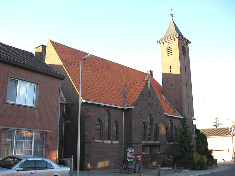
Sint-Gertrudiskerk
Church

Photo: Paul Hermans, CC BY-SA 4.0.
Sint-Gertrudiskerk is a church, which is situated 1¼ km northeast of Damershof.
Waterkasteel van Schoonbeek
Castle

Photo: Paul Hermans, CC BY-SA 3.0.
Waterkasteel van Schoonbeek is a castle, which is situated 2 km northeast of Damershof.
Kasteel Jongenbos
Castle

Photo: Jos Punie, CC BY-SA 3.0.
Kasteel Jongenbos is a castle, which is situated 2 km southwest of Damershof.
Places in the Area
Nearby places include Onze-Lieve-Vrouw and Romershoven.
Romershoven
Village

Photo: Sonuwe, CC BY-SA 3.0.
Romershoven is a village, which is situated 3 km south of Damershof.
Merem
Hamlet
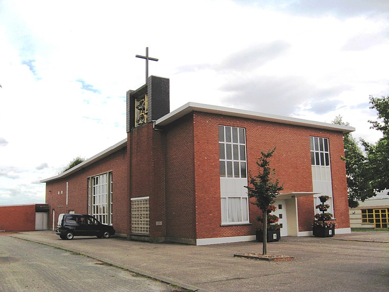
Photo: Sonuwe, CC BY-SA 3.0.
Merem is a hamlet, which is situated 3 km southeast of Damershof.
Damershof
- Category: historic site
- Location: Limburg, Flanders, Belgium, Benelux, Europe
- View on OpenStreetMap
Latitude
50.88316° or 50° 52′ 59″ northLongitude
5.46145° or 5° 27′ 41″ eastOpen location code
9F27VFM6+7HOpenStreetMap ID
way 943146552OpenStreetMap feature
building=yesOpenStreetMap feature
historic=yes
This page is based on OpenStreetMap, Wikidata, and Wikimedia Commons.
We’d love your help improving our open data sources. Thank you for contributing.
Satellite Map
Discover Damershof from above in high-definition satellite imagery.
Notable Places Nearby
Highlights include Schuylenborg mot and Bollebos.
Nearby Places
Explore places such as Pompstation Paneelstraat and Hoeselt Paneelstraat 2.
Limburg: Must-Visit Destinations
Delve into Sint-Truiden, Hasselt, Tongeren, and Genk.
Curious Buildings to Discover
Uncover intriguing buildings from every corner of the globe.
About Mapcarta. Data © OpenStreetMap contributors and available under the Open Database License". Text is available under the CC BY-SA 4.0 license, except for photos, directions, and the map. Photo: Paul Hermans, CC BY-SA 3.0.