Whitehill Coppice
Whitehill Coppice is a forest in Ramsbury, Wiltshire, England. Whitehill Coppice is situated nearby to the locality The Poplars, as well as near the village Ramsbury.| Tap on a place to explore it |
Places of Interest
Highlights include Church of the Holy Cross, Ramsbury and Church of All Saints.


Places in the Area
Nearby places include Hungerford and Ramsbury.
Hungerford
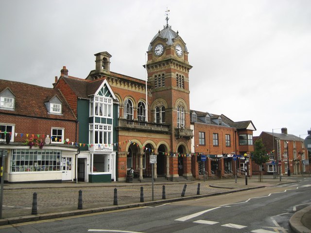
Photo: Nigel Cox, CC BY-SA 2.0.
Hungerford is a historic market town and civil parish in Berkshire, England, 8 miles west of Newbury, 9 miles east of Marlborough, and 60 miles west of London.
Ramsbury
Village

Photo: Martin Bodman, CC BY-SA 2.0.
Ramsbury is a village and civil parish in the English county of Wiltshire. The village is in the Kennet Valley near the Berkshire boundary. The nearest towns are Hungerford about 4.5 miles east and Marlborough about 5.5 miles west.
Chisbury
Village

Photo: Colin Bates, CC BY-SA 2.0.
Chisbury is a hamlet and prehistoric hill fort in the civil parish of Little Bedwyn in Wiltshire, England. Chisbury is about 4 miles west of Hungerford and about 6 miles south-east of Marlborough.
Whitehill Coppice
- Type: Forest
- Location: Ramsbury, Wiltshire, West Country, England, United Kingdom, Britain and Ireland, Europe
- View on OpenStreetMap
Latitude
51.4351° or 51° 26′ 6″ northLongitude
-1.5897° or 1° 35′ 23″ westOpen location code
9C3WCCP6+24OpenStreetMap ID
way 985870791OpenStreetMap feature
natural=wood
This page is based on OpenStreetMap, Wikidata, and Wikimedia Commons.
We’d love your help improving our open data sources. Thank you for contributing.
Satellite Map
Discover Whitehill Coppice from above in high-definition satellite imagery.
Localities in the Area
Explore places such as The Poplars and Whittonditch.
Notable Places Nearby
Highlights include Park Coppice and Lawn Coppice.
Wiltshire: Must-Visit Destinations
Delve into Stonehenge, Salisbury, Warminster, and Swindon.
Curious Forests to Discover
Uncover intriguing forests from every corner of the globe.
About Mapcarta. Data © OpenStreetMap contributors and available under the Open Database License". Text is available under the CC BY-SA 4.0 license, except for photos, directions, and the map. Photo: herry, CC BY 2.0.