Sirkit Merentas Halangan dan Lapang Sasar PALAPES Universiti Malaya
Sirkit Merentas Halangan dan Lapang Sasar PALAPES Universiti Malaya is a military training area in WP. Kuala Lumpur, Kuala Lumpur. Sirkit Merentas Halangan dan Lapang Sasar PALAPES Universiti Malaya is situated nearby to the mosque Surau API, as well as near the university Academy of Islamic Studies.| Tap on a place to explore it |
Places of Interest Nearby
Highlights include Botanical Garden and Museum of Asian Art.
Botanical Garden
Nature reserve
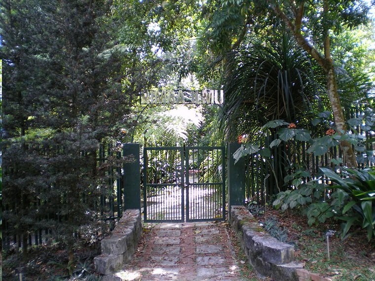
Photo: SpaceMonkey, Public domain.
Rimba Ilmu is a tropical botanical garden set up by the late Professor W.R. Stanton in 1974 on the campus of the University of Malaya in Kuala Lumpur, Malaysia.
Museum of Asian Art
Museum

Photo: *angys*, CC BY-SA 4.0.
The Museum of Asian Art is a museum located in Kuala Lumpur, Malaysia. The museum is dedicated to showcasing different art forms in various parts of the Asian continent. Museum of Asian Art is situated 1½ km south of Sirkit Merentas Halangan dan Lapang Sasar PALAPES Universiti Malaya.
UM Specialist Centre
Hospital

Photo: Izwanos92, CC BY-SA 4.0.
The UM Specialist Centre is a specialist center that has been in existence since 1998 in Malaysia located in Lembah Pantai, Kuala Lumpur. It was initially established as an initiative by the University of Malaya and its Faculty of Medicine to halt the "brain drain" of medical experts from public sector to the private. UM Specialist Centre is situated 2 km south of Sirkit Merentas Halangan dan Lapang Sasar PALAPES Universiti Malaya.
Places in the Area
Nearby places include Kiara Hills and Bangsar.
Kiara Hills
Neighborhood
Bukit Kiara is a densely forested area of Kuala Lumpur, Malaysia. The area is in proximity to the suburbs of Bukit Damansara, TTDI, Mont Kiara, Sri Hartamas, and Bangsar.
Bangsar
Suburb
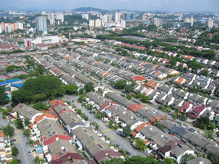
Photo: Melancholia i, Public domain.
Bangsar is a residential suburb on the outskirts of Kuala Lumpur, lying about 4 kilometres south-west of the city centre. It is part of the Lembah Pantai parliamentary constituency.
Damansara Heights
Suburb
Damansara Heights is an upscale suburb in western side of Kuala Lumpur, Malaysia, located five kilometres away from the city centre. The suburb falls under the Segambut district and its parliamentary constituency.
Sirkit Merentas Halangan dan Lapang Sasar PALAPES Universiti Malaya
- Type: Military training area
- Category: military installation
- Location: WP. Kuala Lumpur, Kuala Lumpur, West Coast, Malaysia, Southeast Asia, Asia
- View on OpenStreetMap
Latitude
3.13283° or 3° 7′ 58″ northLongitude
101.65396° or 101° 39′ 14″ eastOpen location code
6PM34MM3+4HOpenStreetMap ID
way 993738078OpenStreetMap feature
landuse=militaryOpenStreetMap feature
military=training_area
This page is based on OpenStreetMap, Wikidata, and Wikimedia Commons.
We’d love your help improving our open data sources. Thank you for contributing.
Satellite Map
Discover Sirkit Merentas Halangan dan Lapang Sasar PALAPES Universiti Malaya from above in high-definition satellite imagery.
Notable Places Nearby
Highlights include Surau API and Academy of Islamic Studies.
Nearby Places
Explore places such as Pencawang Elektrik Rempuh Halangan Palapis, Universiti Malaya 11/0.415kV and Universiti Malaya Cement Hill.
Kuala Lumpur: Must-Visit Destinations
Delve into Golden Triangle, Old City Centre, North of City Centre, and Brickfields and Bangsar.
Curious Military Training Areas to Discover
Uncover intriguing military training areas from every corner of the globe.
About Mapcarta. Data © OpenStreetMap contributors and available under the Open Database License". Text is available under the CC BY-SA 4.0 license, except for photos, directions, and the map. Photo: Renek78, CC0.