S.V. Breugel
S.V. Breugel is a pitch in Peer, Arrondissement of Maaseik, Flanders. S.V. Breugel is situated nearby to the cemetery Begraafplaats Kleine-Brogel, as well as near the church Sint-Ursulakerk.| Tap on a place to explore it |
Places of Interest Nearby
Highlights include Sint-Ursulakerk and Kleine Brogel Air Base.
Sint-Ursulakerk
Church

Photo: Sonuwe, CC BY-SA 3.0.
Sint-Ursulakerk is a church, which is situated 210 metres east of S.V. Breugel.
Kleine Brogel Air Base
Aerodrome
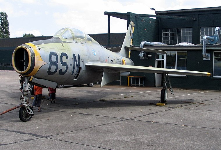
Photo: Paul Hermans, CC BY-SA 3.0.
Kleine Brogel Air Base is a Belgian Air Component military airfield located 0.8 nautical miles east of Kleine-Brogel, in the municipality of Peer, Belgium.

Places in the Area
Nearby places include Eksel and Overpelt.
Eksel
Village

Photo: Sonuwe, CC BY-SA 3.0.
Eksel is a village, which is situated 4½ km southwest of S.V. Breugel.
Overpelt
Village

Photo: Sonuwe, CC BY-SA 3.0.
Overpelt is a town in the municipality of Pelt and a former municipality located in the Belgian province of Limburg. In 2018, the municipality of Overpelt had a total population of 15,478. Overpelt is situated 4½ km north of S.V. Breugel.
Wijchmaal
Village
Wijchmaal is a village in the province of Limburg, Belgium, which since 1977 has been a subdivision of the municipality of Peer. It is located on the low Kempen plateau and has predominantly sandy soil. Wijchmaal is situated 4½ km southwest of S.V. Breugel.
S.V. Breugel
- Type: Pitch
- Categories: recreation area, football, and sports location
- Location: Peer, Arrondissement of Maaseik, Limburg, Flanders, Belgium, Benelux, Europe
- View on OpenStreetMap
Latitude
51.17299° or 51° 10′ 23″ northLongitude
5.44705° or 5° 26′ 49″ eastOpen location code
9F375CFW+5ROpenStreetMap ID
way 99902045OpenStreetMap feature
leisure=pitchOpenStreetMap feature
sport=soccer
This page is based on OpenStreetMap, Wikidata, and Wikimedia Commons.
We’d love your help improving our open data sources. Thank you for contributing.
Satellite Map
Discover S.V. Breugel from above in high-definition satellite imagery.
Notable Places Nearby
Highlights include Kantine SV Breugel and Begraafplaats Kleine-Brogel.
Nearby Places
Explore places such as Run Inn and Wandelingen Vallei.
Limburg: Must-Visit Destinations
Delve into Sint-Truiden, Hasselt, Tongeren, and Genk.
Curious Pitches to Discover
Uncover intriguing pitches from every corner of the globe.
About Mapcarta. Data © OpenStreetMap contributors and available under the Open Database License". Text is available under the CC BY-SA 4.0 license, except for photos, directions, and the map. Photo: Wikimedia, CC BY 4.0.