Nygård
Nygård is a farm in Sigdal, Buskerud, Innlandet. Nygård is situated nearby to the locality Liabråtan, as well as near Bjørnerud.| Tap on a place to explore it |
Places in the Area
Nearby places include Prestfoss.
Prestfoss
Village
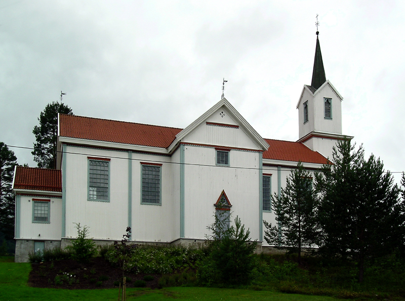
Photo: Mahlum, Public domain.
Prestfoss is the administrative center of Sigdal municipality in Buskerud, Norway. Highway Fv287 passes through Prestfoss. Both Fv132 and Fv133 start from here. Prestfoss is situated 7 km northeast of Nygård.
Nygård
- Type: Farm
- Also known as: “Nygard”
- Category: agriculture
- Location: Sigdal, Buskerud, East Norway, Alvdal, Innlandet, Norway, Nordic countries, Europe
- View on OpenStreetMap
Latitude
60.01347° or 60° 0′ 49″ northLongitude
9.52005° or 9° 31′ 12″ eastElevation
340 metres (1,115 feet)Open location code
9FGF2G7C+92GeoNames ID
9837141
This page is based on GeoNames, Wikidata, and Wikimedia Commons.
We’d love your help improving our open data sources. Thank you for contributing.
Satellite Map
Discover Nygård from above in high-definition satellite imagery.
In Other Languages
“Nygård” goes by many names.
- Norwegian: “Nygård”
Places with the Same Name
Discover other places named “Nygård”.
Localities in the Area
Explore places such as Liabråtan and Bjørnerud.
Notable Places Nearby
Highlights include Bratterudlia and Gåsetjennåsen.
Buskerud: Must-Visit Destinations
Delve into Drammen, Kongsberg, Hemsedal, and Hallingdal.
Curious Farms to Discover
Uncover intriguing farms from every corner of the globe.
About Mapcarta. Text is available under the CC BY-SA 4.0 license, except for photos, directions, and the map. Photo: TormodF, CC BY-SA 3.0.