Jacandel
Jacandel is an office in Fife, North East Scotland, Scotland. Jacandel is situated nearby to the health club Tonik Studio, as well as near the forest Warout Wood.| Tap on a place to explore it |
Places of Interest Nearby
Highlights include St Paul’s Church, Glenrothes and Kingdom Shopping Centre.
St Paul’s Church, Glenrothes
Church
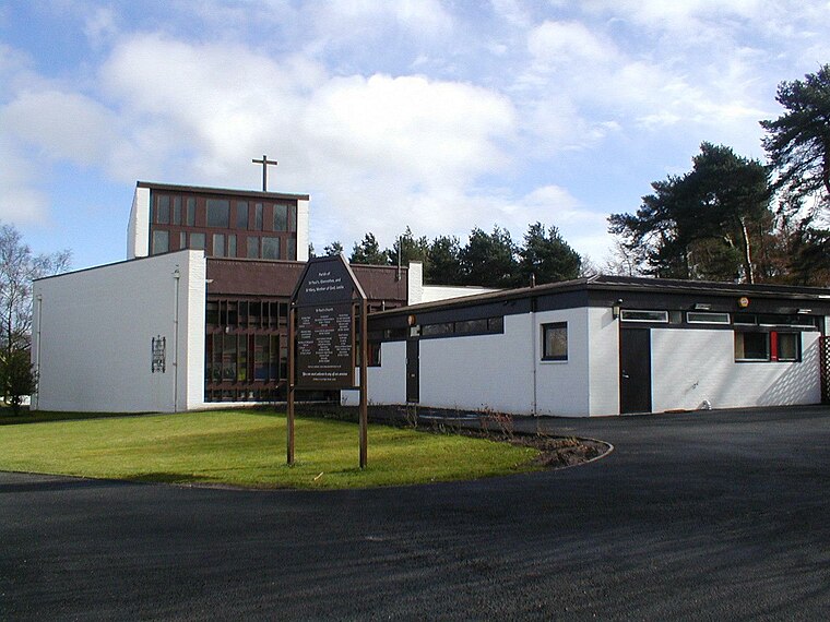
Photo: Mcwesty, CC BY-SA 3.0.
St Paul’s Church, Glenrothes is situated 820 feet north of Jacandel.
Kingdom Shopping Centre
Shopping center

Photo: Mcwesty, CC BY-SA 3.0.
The Kingdom Shopping Centre is an indoor retail and commercial complex in Glenrothes, located in the town centre. It is the largest indoor shopping centre in Fife and is one of the largest single-level indoor shopping centres in Scotland with around 40,000 m2 of floorspace. Kingdom Shopping Centre is situated 3,600 feet northwest of Jacandel.
Auchmuty High School
School

Photo: Yoostar, CC BY-SA 3.0.
Auchmuty School is a state secondary school in the town of Glenrothes in the Fife council area of Scotland. Opened in 1957, it was the first school for secondary education in the area. Auchmuty High School is situated 2,400 feet north of Jacandel.
Places in the Area
Nearby places include Glenrothes and Coaltown of Balgonie.
Glenrothes

Photo: Glen Bowman, CC BY 2.0.
Glenrothes is a large town in Fife, with a population in 2016 of 38,510. It's a post-War "New Town" with uninspiring architecture and not normally a town people visit.
Coaltown of Balgonie
Village
Coaltown of Balgonie is a village of 1,059 people in south central Fife. It is located on the B9130 road, next to the new town of Glenrothes. Coaltown has a Premier shop, a pub, a bowling green, a village hall, an undertakers, and a garage.
Markinch
Town

Photo: Mcwesty, Public domain.
Markinch is both a village and a parish in the heart of Fife, Scotland. According to an estimate taken in 2008, the village has a population of 2,420. The civil parish had a population of 16,530.
Jacandel
- Type: Business
- Category: office
- Location: Fife, North East Scotland, Scotland, United Kingdom, Britain and Ireland, Europe
- View on OpenStreetMap
Latitude
56.18899° or 56° 11′ 20″ northLongitude
-3.16029° or 3° 9′ 37″ westOpen location code
9C8R5RQQ+HVOpenStreetMap ID
node 10827114297OpenStreetMap feature
office=company
This page is based on OpenStreetMap, Wikidata, and Wikimedia Commons.
We’d love your help improving our open data sources. Thank you for contributing.
Satellite Map
Discover Jacandel from above in high-definition satellite imagery.
Notable Places Nearby
Highlights include Tonik Studio and Warout Wood.
Nearby Places
Explore places such as Pens of Distinction and Leslie & Sons.
Fife: Must-Visit Destinations
Delve into Dunfermline, St Andrews, Kirkcaldy, and Glenrothes.
Curious Places to Discover
Uncover intriguing places from every corner of the globe.
About Mapcarta. Data © OpenStreetMap contributors and available under the Open Database License". Text is available under the CC BY-SA 4.0 license, except for photos, directions, and the map. Photo: AlasdairW, CC BY-SA 3.0.