Waun Croes Hywel
Waun Croes Hywel is a peak in Llanigon, Powys, Wales and has an elevation of 1,312 feet. Waun Croes Hywel is situated nearby to the locality Trefgoed, as well as near the village Ffordd-las.| Tap on a place to explore it |
Places of Interest
Highlights include Hay Bluff and Twmpa.
Hay Bluff
Peak

Photo: colin price, CC BY-SA 2.0.
Hay Bluff is a prominent hill at the northern tip of the Black Mountains, an extensive upland massif which straddles the border between south-east Wales and England.
Twmpa
Peak

Photo: Wikimedia, CC BY-SA 2.0.
Twmpa or Lord Hereford's Knob is a mountain in south-east Wales, forming a part of the great northwest scarp of the Black Mountains. It lies 1.86 miles west of the border with England, and around 4.34 miles south of Hay-on-Wye.
Black Mountain
Peak

Photo: Richard Webb, CC BY-SA 2.0.
The Black Mountain is a hill in the Black Mountains. It is the only Marilyn to fall exactly on the Welsh–English border, and it straddles Powys and Herefordshire. Its parent peak, Waun Fach, lies to the west.
Places in the Area
Nearby places include Hay-on-Wye and Llanigon.
Hay-on-Wye

Photo: Wikimedia, CC BY-SA 2.0.
Hay-on-Wye is a small town with a population of about 1,900 in Mid Wales, on the River Wye, very close to the English border and within the borders of Brecon Beacons National Park.
Llanigon
Village
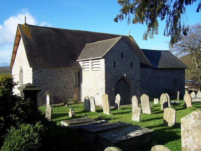
Photo: Geoff Pick, CC BY-SA 2.0.
Llanigon is a village and community in Powys, Wales on the edge of the Brecon Beacons National Park, north of the Black Mountains, Wales. The community population was 478.
Glasbury
Village

Photo: andy dolman, CC BY-SA 2.0.
Glasbury, also known as Glasbury-on-Wye, is a village and community in Powys, Wales. The village lies at an important crossing point on the River Wye, connecting the historic counties of Brecknockshire and Radnorshire, and is located just outside the Brecon Beacons National Park, north of the Black Mountains.
Waun Croes Hywel
- Type: Peak with an elevation of 1,312 feet
- Category: landform
- Location: Llanigon, Powys, Mid Wales, Wales, United Kingdom, Britain and Ireland, Europe
- View on OpenStreetMap
Latitude
52.0267° or 52° 1′ 36″ northLongitude
-3.1348° or 3° 8′ 5″ westElevation
1,312 feet (400 metres)Open location code
9C4R2VG8+M3OpenStreetMap ID
node 11632499320OpenStreetMap feature
natural=peak
This page is based on OpenStreetMap, Wikidata, and Wikimedia Commons.
We’d love your help improving our open data sources. Thank you for contributing.
Satellite Map
Discover Waun Croes Hywel from above in high-definition satellite imagery.
Localities in the Area
Explore places such as Trefgoed and Ffordd-las.
Notable Places Nearby
Highlights include Cilonw Dingle and Wenallt.
Powys: Must-Visit Destinations
Delve into Brecon, Welshpool, Newtown, and Llandrindod Wells.
Curious Peaks to Discover
Uncover intriguing peaks from every corner of the globe.
About Mapcarta. Data © OpenStreetMap contributors and available under the Open Database License". Text is available under the CC BY-SA 4.0 license, except for photos, directions, and the map. Photo: Wikimedia, CC0.